Two Mile Prairie, Missouri
| Two Mile Prairie | |
|---|---|
| Unincorporated community | |
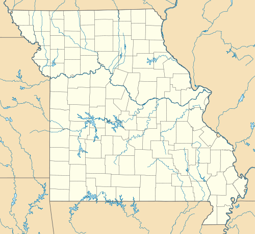 Two Mile Prairie Location within the state of Missouri | |
| Coordinates: 39°1′5″N 92°10′1″W / 39.01806°N 92.16694°WCoordinates: 39°1′5″N 92°10′1″W / 39.01806°N 92.16694°W | |
| Country | United States |
| State | Missouri |
| County | Boone |
| Township | Columbia |
| Elevation | 879 ft (268 m) |
| Time zone | Central (CST) (UTC-6) |
| • Summer (DST) | CDT (UTC-5) |
| GNIS feature ID | 759385[1] |
Two Mile Prairie is an Unincorporated community in northern Columbia Township, Boone County, Missouri, United States, northeast of Columbia. Its elevation is 879 feet (268 m).[1]
It shares a name with Two Mile Prairie Elementary School in Columbia. The community is part of the Columbia Metropolitan Statistical Area.
The community took its name from a nearby 2-mile long prairie of the same name.[2]
References
- 1 2 "Two Mile Prairie, Missouri". Geographic Names Information System. United States Geological Survey. Retrieved 2008-01-24.
- ↑ "Boone County Place Names, 1928–1945 (archived)". The State Historical Society of Missouri. Retrieved 4 September 2016.
Further reading
- "Area farmers face price squeeze: Grain elevators are filling up quickly." Columbia Daily Tribune (Columbia, MO) (Oct 11, 2007): NA. General OneFile. Gale. TORONTO PUBLIC LIBRARIES (CELPLO). 23 Feb. 2008 <http://find.galenet.com/ips/start.do?prodId=IPS>. Gale Document Number:CJ169738534 "Brothers Frank and John Glenn yesterday took advantage of good weather to reap the annual soybean harvest on their family farm in the Two Mile Prairie area northeast of Columbia."
- "Planners settle on Ashland site for sewage plant." Columbia Daily Tribune (Columbia, MO) (August 15, 2007): NA. General OneFile. Gale. TORONTO PUBLIC LIBRARIES (CELPLO). 23 Feb. 2008 <http://find.galenet.com/ips/start.do?prodId=IPS>. Gale Document Number:CJ167634040 "...the Two Mile Prairie task force believes the best location for the new [wastewater treatment] plant is the current Ashland Wastewater Treatment Plant.'
External links
Municipalities and communities of Boone County, Missouri, United States | ||
|---|---|---|
| Cities | 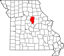 | |
| Villages | ||
| Townships | ||
| Unincorporated communities | ||
| Ghost towns | ||
| Footnotes | ‡This populated place also has portions in an adjacent county or counties | |
This article is issued from Wikipedia - version of the 9/4/2016. The text is available under the Creative Commons Attribution/Share Alike but additional terms may apply for the media files.