Tawonga, Victoria
| Tawonga Victoria | |||||||
|---|---|---|---|---|---|---|---|
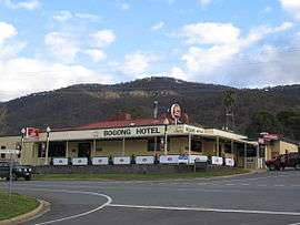 The Bogong Hotel at Tawonga (destroyed by fire in 2011)[1] | |||||||
 Tawonga | |||||||
| Coordinates | 36°38′0″S 147°06′0″E / 36.63333°S 147.10000°ECoordinates: 36°38′0″S 147°06′0″E / 36.63333°S 147.10000°E | ||||||
| Population | 588 (2011 census)[2] | ||||||
| Postcode(s) | 3697 | ||||||
| Elevation | 330 m (1,083 ft) | ||||||
| Location |
| ||||||
| LGA(s) | Alpine Shire | ||||||
| State electorate(s) | Benambra | ||||||
| Federal Division(s) | Indi | ||||||
| |||||||
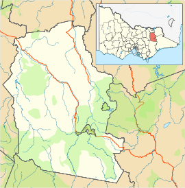
Tawonga is a town in northeast Victoria, Australia. The town is on the Kiewa Valley Highway, in the Alpine Shire local government area, 350 kilometres northeast of the state capital, Melbourne. At the 2011 census, Tawonga had a population of 588.[2]
Tawonga Post Office opened on 4 October 1879.[3]
References
| Wikimedia Commons has media related to Tawonga, Victoria. |
- ↑ Holroyd, Jane. "Fire razes historic country pub". The Age. Fairfax Media. Retrieved 22 November 2012.
- 1 2 Australian Bureau of Statistics (31 October 2012). "Tawonga (State Suburb)". 2011 Census QuickStats. Retrieved 2 December 2014.
- ↑ Premier Postal History, Post Office List, retrieved 2008-04-11
This article is issued from Wikipedia - version of the 5/8/2016. The text is available under the Creative Commons Attribution/Share Alike but additional terms may apply for the media files.