Sutan Sjahrir Air Force Base
| Tabing Airfield Lapangan Udara Tabing باندارتابڠ | |||||||||||
|---|---|---|---|---|---|---|---|---|---|---|---|
 Tabing Airport terminal (2004) | |||||||||||
|
IATA: | |||||||||||
| Summary | |||||||||||
| Airport type | Military | ||||||||||
| Operator | Government | ||||||||||
| Location | Nanggalo, Padang, West Sumatra, Indonesia | ||||||||||
| Elevation AMSL | 9 ft / 3 m | ||||||||||
| Coordinates | 0°52′51″S 100°21′14″E / 0.8807°S 100.3539°ECoordinates: 0°52′51″S 100°21′14″E / 0.8807°S 100.3539°E | ||||||||||
| Map | |||||||||||
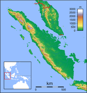 Tabing Airfield Location of Tabing Airport in Sumatra, Indonesia | |||||||||||
| Runways | |||||||||||
| |||||||||||
|
Source: DAFIF | |||||||||||
Sutan Sjahrir Air Force Base, formerly Tabing Airport (IATA: PDG, ICAO: WIMG) was West Sumatra's primary airport prior to the opening of the new Minangkabau International Airport on 22 July 2005. It is now used as an airbase by the Indonesian Air Force. It has been named after Sutan Sjahrir, Indonesia's first prime minister.
Incidents and accidents
- On 13 October 2012, a Sriwijaya Air Boeing 737-200, registration PK-CJD operating as Sriwijaya Air Flight 21 bound for Minangkabau from Medan, accidentally landed at the airport. None of its 96 passengers and 4 crew were injured, and both pilots were subsequently suspended and questioned by the NTSC.[1][2]
References
- ↑ "Indonesia plane lands at Tabing not Padang". BBC News Asia. 2012. Retrieved 2013-06-10.
- ↑ "SRIWIJAYA AIR NYASAR : KNKT Periksa Percakapan Pilot" (in Indonesian). Solo Pos. 2012. Retrieved 2013-02-19.
External links
| Wikimedia Commons has media related to Tabing Airport. |
This article is issued from Wikipedia - version of the 12/4/2016. The text is available under the Creative Commons Attribution/Share Alike but additional terms may apply for the media files.