Notohadinegoro Airport
| Notohadinegoro Airport Bandar Udara Notohadinegoro | |||||||||||
|---|---|---|---|---|---|---|---|---|---|---|---|
| IATA: JBB – ICAO: WARE | |||||||||||
| Summary | |||||||||||
| Airport type | Public | ||||||||||
| Owner | Government of Jember Regency | ||||||||||
| Serves | Jember | ||||||||||
| Location | Jember, East Java, Indonesia | ||||||||||
| Elevation AMSL | 281 ft / 85,65 m | ||||||||||
| Coordinates | 08°14′28″S 113°41′38″E / 8.24111°S 113.69389°ECoordinates: 08°14′28″S 113°41′38″E / 8.24111°S 113.69389°E | ||||||||||
| Map | |||||||||||
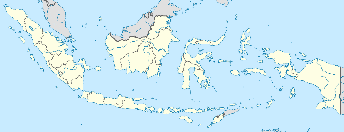 Notohadinegoro Airport Location in Indonesia | |||||||||||
| Runways | |||||||||||
| |||||||||||
Notohadinegoro Airport (IATA: JBB, ICAO: WARE) is an airport serving Jember, a city in East Java Province, Indonesia. This airport is operated by Department of Transportation of Jember Regency (Indonesian: Dinas Perhubungan Kabupaten Jember). This airport is back in operation in July 2014.
Notohadinegoro Airport has an extensive 120 hectares. This airport expected to serve other city in Indonesia to Jember.
History
Notohadinegoro Airport was initiated by former Regent of Jember, Samsul Hadi Siswoyo. Construction is began at 2003 by using the Jember Budget (APBD Kabupaten Jember) of 30 billion Rupiah. This airport was inaugurated on 2005 with length of runway is 1.200 meter.
At 2008, Regent of Jember, MZA Djalal want this airport is operated civil routes to other city in Indonesia. Government of Jember Regency extending the runway from 1.200 meter to 1.560 meter. At July 2014, Jember has operated this airport with the first flight route is Garuda Indonesia Surabaya to Jember.
Facility
- Terminal Building
- Taxi
Airlines and destinations
The following airlines offer scheduled passenger service:
| Airlines | Destinations |
|---|---|
| Garuda Indonesia | Surabaya |
| Susi Air | - |
Future Development
Government of Jember Regency has planned in 2015 to extending the runway into 2.500 meter to serve large aircraft at this airport. National Pilot School from Banyuwangi will also build Settle Base at this airport in 2015.