Washington State Route 28
| ||||
|---|---|---|---|---|
|
SR 28 is highlighted in red. | ||||
| Route information | ||||
| Defined by RCW 47.17.120 | ||||
| Maintained by WSDOT | ||||
| Length: | 135.32 mi[1] (217.78 km) | |||
| Existed: | 1964[2] – present | |||
| Major junctions | ||||
| West end: |
| |||
|
| ||||
| East end: |
| |||
| Location | ||||
| Counties: | Douglas, Grant, Lincoln | |||
| Highway system | ||||
| ||||


State Route 28 (SR 28) is a 135.32-mile (217.78 km) long state highway serving Douglas, Grant, and Lincoln counties in the U.S. state of Washington. The highway begins at an intersection with U.S. Route 2 (US 2) and U.S. Route 97 (US 97) in East Wenatchee and travels east through Quincy, Ephrata, and Odessa before ending at US 2 in Davenport. The route parallels the Columbia River and a rail line operated by BNSF Railway through mostly rural areas.
SR 28 has been signed into law as the Sunset Highway and North Central Highway since 1915. These two highways later became State Road 7 and State Road 10, respectively, in a 1923 renumbering. The two roads kept their numeral designation past the 1937 renumbering, becoming Primary State Highway 7 (PSH 7) and Primary State Highway 10 (PSH 10), later joined in 1964 to form SR 28.
Route description
State Route 28 (SR 28) begins at an intersection in the Douglas County city of East Wenatchee with the concurrent U.S. Route 2 (US 2) and U.S. Route 97 (US 97) and a future extension of Eastmont Avenue. The highway extends south through suburban areas parallel to the Columbia River and the Apple Capital Recreation Loop Trail into East Wenatchee.[3] SR 28 passes the historic Columbia River Bridge, listed on the National Register of Historic Places,[4][5] and intersects State Route 285 in a partial cloverleaf interchange west of the Wenatchee Valley Mall, forming a pair of one-way streets.[6] The road gradually turns east along the bank of the Columbia River, exiting East Wenatchee into farmland and passing Pangborn Memorial Airport, the busiest section of the entire route with a daily average of 35,000 vehicles in 2011.[7] SR 28 passes through the community of Rock Island and turns southeast, serving the Rock Island Dam before leaving Douglas County and entering Grant County.[8]
Entering Grant County, the highway travels east away from the Columbia River and runs along the southern flank of the Beezley Hills parallel to a BNSF rail line into Quincy,[9] where SR 28 becomes F Street and intersects SR 281.[1] The East Wenatchee–Quincy section is part of the National Highway System, a network of strategic highways within the United States.[10] The highway leaves Quincy and turns northeast at an intersection with SR 283 and enters Ephrata, becoming Basin Street.[1][11] Basin Street intersects SR 282, a short connector to the Ephrata Municipal Airport,[12] in Ephrata before intersecting SR 17 in nearby Soap Lake.[13] The highway turns east and passes through the rural communities of Adco, Stratford, and Wilson Creek before exiting Grant County and entering Lincoln County. East of the Lincoln County boundary, SR 28 becomes 1st Avenue in Odessa and intersects SR 21. The highway continues northeast through Lamona and intersects SR 23 in a bypass of Harrington. The roadway turns north and enters Davenport, where SR 28 ends at US 2 west of the southern terminus of SR 25.[8]
History
State Route 28 (SR 28) was built on a corridor that was designated as two highways in 1915: the Sunset Highway from East Wenatchee to Quincy and the North Central Highway, a secondary highway from Quincy to Davenport.[14] The Sunset Highway became State Road 10 and the North Central Highway became State Road 7 in a 1923 renumbering.[15][16] The western and eastern terminus of what would become SR 28 was U.S. Route 10 (US 10, established in 1926 with the United States Numbered Highway System.[17] During the introduction of the Primary and secondary state highway system in 1937, both routes kept their former numeral designations, becoming Primary State Highway 10 (PSH 10) and Primary State Highway 7 (PSH 7).[18] US 10 was re-routed south and the former route was designated as U.S. Route 10 Alternate in the 1940s,[19] until U.S. Route 2 (US 2) was extended from Idaho in 1946.[20][21][22] SR 28 was established during the 1964 highway renumbering and written into law in 1970.[2][23][24] In 1975, the highway was extended north to a new junction with US 2, now concurrent with U.S. Route 97 (US 97).[25] State Route 285 (SR 285) was established in 1977 to maintain the former route of US 2, mainly the Senator George Sellar Bridge,[26] being extended through Downtown Wenatchee to Sunnyslope.[2][27] Since 1975, no major revisions to the highway have occurred,[28] however the Washington State Department of Transportation is, as of January 2013, building an extension to Eastmont Street in East Wenatchee, ending at the western terminus of SR 28.[29]
Major intersections
| County | Location | mi[1] | km | Destinations | Notes |
|---|---|---|---|---|---|
| Grant | East Wenatchee | 0.00 | 0.00 | Western terminus | |
| 3.80– 4.25 | 6.12– 6.84 | Southern terminus of SR 285; interchange | |||
| Grant | Quincy | 33.91 | 54.57 | Northern terminus of SR 281 | |
| | 46.23 | 74.40 | Northern terminus of SR 283 | ||
| Ephrata | 50.77 | 81.71 | Western terminus of SR 282 | ||
| Soap Lake | 57.03 | 91.78 | |||
| Lincoln | Odessa | 97.86 | 157.49 | ||
| Harrington | 122.26 | 196.76 | Northern terminus of SR 23 | ||
| Davenport | 135.32 | 217.78 | Eastern terminus | ||
| 1.000 mi = 1.609 km; 1.000 km = 0.621 mi | |||||
References
- 1 2 3 4 Staff (2012), State Highway Log: Planning Report 2011, SR 2 to SR 971 (PDF), Washington State Department of Transportation, pp. 669–689, retrieved January 12, 2013
- 1 2 3 "47.17.120: State route No. 28", Revised Code of Washington, Washington State Legislature, 1970, retrieved January 12, 2013
- ↑ McDonald, Cathy (August 10, 2006), "Apple Capital Recreation Loop Trail", The Seattle Times, retrieved January 12, 2013
- ↑ Soderberg, Lisa (June 1980), HAER Inventory: Bridges, Trestles, and Aqueducts - Columbia River Bridge (PDF), Historic American Engineering Record, retrieved January 12, 2013
- ↑ National Register of Historic Places; Annual Listing of Historic Properties (PDF), United States Department of the Interior, National Park Service, March 1, 1983, p. 44, retrieved January 12, 2013
- ↑ SR 28 - Junction SR 285/SR 28 CO WENTCH (PDF), Washington State Department of Transportation, October 12, 2011, retrieved January 12, 2013
- ↑ Staff (2011), 2011 Annual Traffic Report (PDF), Washington State Department of Transportation, pp. 107–109, retrieved January 12, 2013
- 1 2 Google (January 12, 2013). "State Route 28" (Map). Google Maps. Google. Retrieved January 12, 2013.
- ↑ 2011 Washington State Rail System (PDF) (Map). Washington State Department of Transportation. January 2012. Retrieved January 12, 2013.
- ↑ National Highway System: Washington (PDF) (Map). Federal Highway Administration. October 1, 2012. Retrieved January 12, 2013.
- ↑ SR 28 - Junction SR 283 (PDF), Washington State Department of Transportation, November 24, 2009, retrieved January 12, 2013
- ↑ "Port District #9 of Grant County, Washington: Port of Ephrata", Port of Ephrata, retrieved January 12, 2013
- ↑ SR 17 - Junction SR 28 (PDF), Washington State Department of Transportation, September 17, 2004, retrieved January 12, 2013
- ↑ Washington State Legislature (March 19, 1915), "Chapter 164: Classification of Highways", Session Laws of the State of Washington, Session Laws of the State of Washington (1915 ed.), Olympia, Washington: Washington State Legislature, pp. 485, 489, retrieved January 12, 2013,
Section 5878-2b. A primary state highway is established as follows: A highway connecting with the Sunset Highway at or in the vicinity of the city of Ellensburg; thence by the way of North Yakima, Kennewick, Pasco, Walla Walla, Dayton, crossing the Snake river in the vicinity of Central Ferry, Colfax, Rosalia, Spokane, Deer Park, Loon Lake, Colville, to the international boundary line at Laurier, which shall be known as the Inland Empire Highway. Section 5901f. A secondary state highway is established as follows: North Central Highway: This road shall begin at the city of Davenport in Lincoln county and run thence southerly and westerly by the most feasible route through Harrington, Odessa, Krupp and Ephrata to a connection with the Sunset Highway.
- ↑ Washington State Legislature (March 19, 1923), "Chapter 185: Primary and Secondary State Highways", Session Laws of the State of Washington, Session Laws of the State of Washington (1923 ed.), Olympia, Washington: Washington State Legislature, pp. 629–630, retrieved January 12, 2013,
SEC. 6. A primary state highway, to be known as State Road No. 7 or the North Central Highway, is established as follows: Beginning at Ellensburg; thence by the most feasible route easterly to Vantage Ferry; thence in a northeasterly direction through Ephrata, Odessa and Harrington to a junction with State Road No. 2 at Davenport in Lincoln County. SEC. 9. A primary state highway, to be known as State Road No. 10 or the Chelan-Okanogan State Highway, is established as follows: Beginning at Quincy in Grant County; thence in a northwesterly direction to a connection with the Sunset Highway at the bridge over the Columbia River at Wenatchee; thence over the route of the Sunset Highway to Orondo; thence northeasterly through Chelan Falls, Okanogan and Oroville to the international boundary line.
- ↑ State of Washington Highway Map (DJVU) (Map). Department of Highways. April 1, 1933. Retrieved January 12, 2013.
- ↑ Bureau of Public Roads & American Association of State Highway Officials (November 11, 1926). United States System of Highways Adopted for Uniform Marking by the American Association of State Highway Officials (Map). 1:7,000,000. Washington, DC: U.S. Geological Survey. OCLC 32889555. Retrieved November 7, 2013 – via University of North Texas Libraries.
- ↑ Washington State Legislature (March 17, 1937), "Chapter 190: Establishment of Primary State Highways", Session Laws of the State of Washington, Session Laws of the State of Washington (1937 ed.), Olympia, Washington: Washington State Legislature, p. 937, 939, retrieved January 12, 2013,
SEC. 7. A primary state highway to be known as Primary State Highway No. 7, or the North Central Highway, is hereby established according to description as follows: Beginning at Ellensburg on Primary State Highway No. 3, thence in an easterly direction by the most feasible route by way of Vantage Bridge, thence in a northeasterly direction by the most feasible route by way of Quincy, Ephrata and Odessa to Davenport on Primary State Highway No. 2; also beginning at a point on Primary State Highway No. 7, as herein described, in the vicinity of Soap Lake, thence in a northerly direction by the most feasible route to a junction with Primary State Highway No. 2 west of Coulee City. SEC. 10. A primary state highway to be known as Primary State Highway No. 10, or the Chelan-Okanogan Highway, is hereby established according to description as follows: Beginning at Quincy, on Primary State Highway No. 7, thence in a northwesterly direction by the most feasible route to a junction with Primary State Highway No. 2, in the vicinity east of Wenatchee; also beginning at a junction with Primary State Highway No. 2, in the vicinity northwesterly of Wenatchee, thence in a northerly direction by the most feasible route on the west side of the Columbia river by way of Chelan, Pateros, Brewster, Okanogan and Oroville to the international boundary line; also from Brewster on Primary State Highway No. 10, as herein described, thence in a southeasterly direction by the most feasible route to a junction with Primary State Highway No. 2, in the vicinity west of Coulee City.
- ↑ Northwest, 1946 (Map). Rand McNally. 1946. Retrieved January 11, 2013.
- ↑ Weingroff, Richard (April 7, 2011), U.S. 2: Houlton, Maine, to Everett, Washington, Federal Highway Administration, retrieved January 11, 2013
- ↑ Rand McNally Road Map of the United States (Map). 1:7,500,000. Rand McNally. 1947. Retrieved January 11, 2013.
- ↑ Wenatchee, 1948 (JPG) (Map). 1:250,000. United States Geological Survey. 1948. Retrieved January 11, 2013.
- ↑ Prahl, C. G. (December 1, 1965), Identification of State Highways (PDF), Washington State Highway Commission, Department of Highways, retrieved January 12, 2013
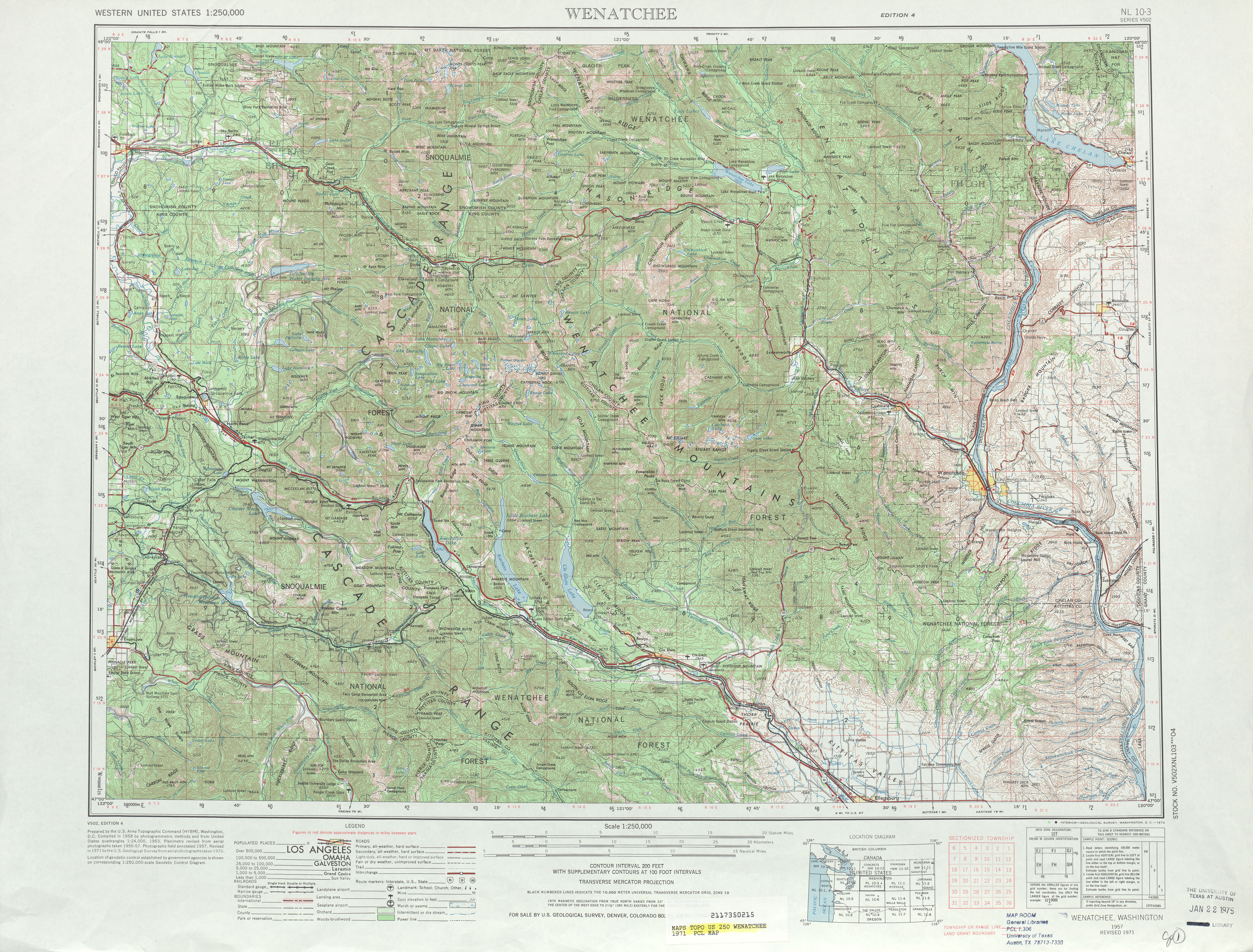
- ↑ Wenatchee, 1971 (JPG) (Map). 1:250,000. United States Geological Survey. 1971. Retrieved January 12, 2013.
- ↑ Staff (1970), 1970 Annual Traffic Report (PDF), Washington State Department of Transportation, pp. 31–32, retrieved January 11, 2013
- ↑ Staff (1990), 1990 Annual Traffic Report (PDF), Washington State Department of Transportation, p. 112, retrieved January 11, 2013
- ↑ Washington House of Representatives (1991), Chapter 342, Laws of 1991: State Highway Routes — Revisons To (House Bill 5801)", Session Laws of the State of Washington (1991 ed.), Olympia, Washington: Washington State Legislature
- ↑ Washington State Highways, 2011–2012 (PDF) (Map). 1:842,000. Washington State Department of Transportation. 2011. Retrieved January 11, 2013.
- ↑ SR 28 - Junction US 2/97 to 9th Street - Stage 1, Washington State Department of Transportation, 2012, retrieved January 12, 2013