Stanton Township, Champaign County, Illinois
| Stanton Township | |
|---|---|
| Township | |
 Location in Champaign County | |
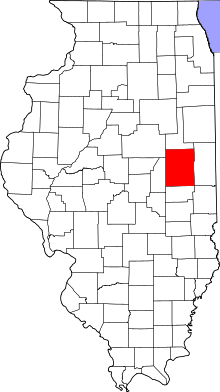 Champaign County's location in Illinois | |
| Coordinates: 40°11′14″N 88°03′53″W / 40.18722°N 88.06472°WCoordinates: 40°11′14″N 88°03′53″W / 40.18722°N 88.06472°W | |
| Country | United States |
| State | Illinois |
| County | Champaign |
| Area | |
| • Total | 34.76 sq mi (90.0 km2) |
| • Land | 34.71 sq mi (89.9 km2) |
| • Water | 0.06 sq mi (0.2 km2) 0.17% |
| Elevation | 669 ft (204 m) |
| Population (2010) | |
| • Total | 505 |
| • Density | 14.6/sq mi (5.6/km2) |
| Time zone | CST (UTC-6) |
| • Summer (DST) | CDT (UTC-5) |
| GNIS feature ID | 0429793 |
Stanton Township is a township in Champaign County, Illinois, USA. As of the 2010 census, its population was 505 and it contained 202 housing units.[1]
History
Stanton Township formed from a portion of St. Joseph Township on an unknown date. The first settler in the township was called Samuel McClughen, who came from Ohio in 1834.[2]
Geography
According to the 2010 census, the township has a total area of 34.76 square miles (90.0 km2), of which 34.71 square miles (89.9 km2) (or 99.86%) is land and 0.06 square miles (0.16 km2) (or 0.17%) is water.[1] The stream of Spoon River runs through this township.
Cemeteries
Cemeteries in Stanton Township include: Huls Cemetery South (also known as Stanton Friends or Friends Church).
Unincorporated towns
(This list is based on USGS data and may include former settlements.)
Airports and landing strips
- Flessner Landing Field
References
- "Stanton Township, Champaign County, Illinois". Geographic Names Information System. United States Geological Survey. Retrieved 2010-01-04.
- United States Census Bureau cartographic boundary files
- 1 2 "Population, Housing Units, Area, and Density: 2010 - County -- County Subdivision and Place -- 2010 Census Summary File 1". United States Census. Retrieved 2013-05-28.
- ↑ http://history.rays-place.com/il/cham-stanton.htm
External links
 |
Rantoul Township | |
Compromise Township | |
| Somer Township | |
Ogden Township | ||
| ||||
| | ||||
| Urbana Township | St. Joseph Township |
Municipalities and communities of Champaign County, Illinois, United States | ||
|---|---|---|
| Cities | ||
| Villages | ||
| Townships | ||
| CDPs | ||
| Other unincorporated communities | ||
| Footnotes | ‡This populated place also has portions in an adjacent county or counties | |