Sangrai
| Sangrai | |
|---|---|
| Village | |
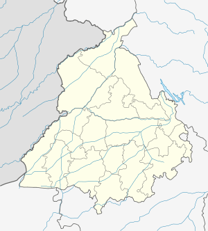 Sangrai  Sangrai Location in Punjab, India | |
| Coordinates: 31°36′54″N 75°07′26″E / 31.614864°N 75.123890°ECoordinates: 31°36′54″N 75°07′26″E / 31.614864°N 75.123890°E | |
| Country |
|
| State | Punjab |
| District | Kapurthala |
| Government | |
| • Type | Panchayati raj (India) |
| • Body | Gram panchayat |
| Population (2011) | |
| • Total | 470 [1] |
| Sex ratio 222/248♂/♀ | |
| Languages | |
| • Official | Punjabi |
| • Other spoken | Hindi |
| Time zone | IST (UTC+5:30) |
| PIN | 144804 |
| Telephone code | 01822 |
| ISO 3166 code | IN-PB |
| Vehicle registration | PB-09 |
| Website |
kapurthala |
Sangrai is a village in Kapurthala district of Punjab State, India. It is located 22 kilometres (14 mi) from Kapurthala, which is both district and sub-district headquarters of Sangrai. The village is administrated by a sarpanch, an elected representative of the village.[2]
Dhilwan, Nadala, Rayya-6 and Kapurthala are nearest Taluks and Kapurthala, Kartarpur, Jalandhar, Qadian are the nearby Cities to Sangrai. Kapurthala, Jalandhar, Tarn Taran and Amritsar are the nearby District Headquarters to the village.
Kapurthala, Kartarpur, Jalandhar and Qadian are the nearby Cities to Sangrai.
Transport
Train
Dhilwan Railway Station, Beas Railway Station, Baba Bakalaraya Railway Station and Hamira Railway Station are the very nearest railway stations to Sangrai however, Jalandhar City major railway station is 34 km away from the village.
Air
Raja Sansi airport, Pathankot airport, Ludhiana airport and Gaggal airport nearest airports are available to Sangrai village.
Villages in Kapurthala
References
- ↑ "sangowal Population per Census 2011". census2011.co.in.
- ↑ "About the village". onefivenine.com.