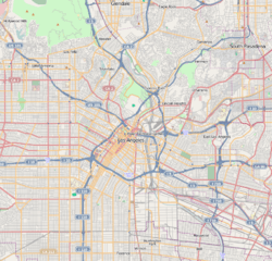
Rose Hills, Los Angeles
| Rose Hills | |
|---|---|
| Neighborhood of Los Angeles | |
 Rose Hills Location within Central Los Angeles | |
| Coordinates: 34°05′09″N 118°11′27″W / 34.085943°N 118.190907°WCoordinates: 34°05′09″N 118°11′27″W / 34.085943°N 118.190907°W | |
| Country | United States |
| State | California |
| County | Los Angeles |
| City | Los Angeles |
| Government | |
| • City Council | José Huizar |
| • State Assembly | Jimmy Gomez (D) |
| • State Senate | Kevin de Leon (D) |
| • U.S. House | Xavier Becerra (D |
| Time zone | PST (UTC-8) |
| • Summer (DST) | PDT (UTC-7) |
| ZIP code | 90032 |
| Area code(s) | 323 |
Rose Hills is a small Los Angeles City neighborhood in the Eastside Los Angeles region of the County of Los Angeles, California.

History
The Rose Hills area has a long history. The history of the community starts back over 5,000 years, when the Native Tongva people-Kizh Nation lived in the Los Angeles basin. At that time, the Tongva named the villages in relation to local features. The name of the village where this community rests was once called 'Otsungna', the largest village of the Tongva tribe. The word 'Otsungna' translates to "Place of Roses," after the native wood roses (Rosa californica) growing along/around the creek.
In a Pacific Ocean expedition in 1602, the first record of 'Rosa de Castilla' was coined by Padre Antonio de la Ascension, as noted in his voyage log.
During the Spanish Exploration led by Gasper de Portola in 1769, the people traveled through the area and made several notes about the abundant amount of roses they saw during the expedition. Padre Junipero Serra also made a kind remark in his diary — that they had "met the Queen of them all, the 'Rosa de Castilla'". After the founding of El Pueblo de Nuestra Senora de la Reina de Los Angeles Sobre el Rio Porciuncula' (present day Los Angeles).
Historical reports and maps in archives indicate that Rose Hills was once part of an 1839 Mexican land grant named "Rancho Rosa Castilla". The first recorded owner of the Rancho was Juan Ballesteros, registrar of the pueblo. After statehood, land claim #309 SD was filed in 1852 to confirm it. By the late 1850s the land had been transferred twice, and was owned by Anacleto Lestrade, priest at La Iglesia de Nuestra Señora la Reina de los Ángeles, the mission church of the Pueblo de Los Ángeles. One of the original 36 adobes in California stood on Rancho Rosa Castilla.
There are various placename references to the historic rancho's and present day community's name, such as: Rose Hill Elementary School (now Huntington Drive Elementary), Rose Hill Regional Park (renamed Ernest E. Debs Regional Park), Rose Road (now Huntington Drive), Rose Hill Pharmacy (demolished), Our Lady of Guadalupe Rose Hill, Rose Hill Recreation Center, [1] and Rose Hill Courts. Rose Hill also was the name of a stop on the Pacific Electric Red Car's Sierra Vista line.
References
- ↑ Rose Hill Recreation Center, 4560 Mercury Ave. 90032
Anthony Manzano. "Archived History of Rose Hills" (PDF).
| Districts and neighborhoods | 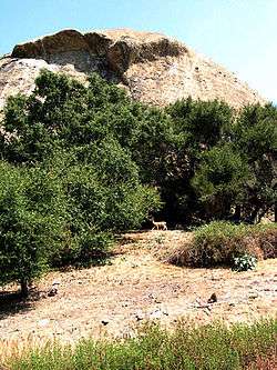 | |
|---|---|---|
| Points of interest | ||
| Neighboring cities and communities | ||