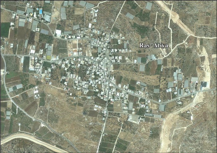
Ras Atiya
| Ras Atiya | |
|---|---|
| Other transcription(s) | |
| • Arabic |
رأس عطيّه خربة رأس عطيّه |
| • Also spelled |
Ras Atiya (official) Khirbat Ras Atiya (unofficial) |
 Map of the path of the separation barrier around the Qalqilya and Hableh-Ras Atiya enclaves | |
 Ras Atiya Location of Ras Atiya within the Palestinian territories | |
| Coordinates: 32°09′31.32″N 34°59′26.89″E / 32.1587000°N 34.9908028°ECoordinates: 32°09′31.32″N 34°59′26.89″E / 32.1587000°N 34.9908028°E | |
| Palestine grid | 149/174 |
| Governorate | Qalqilya |
| Government | |
| • Type | Village council |
| Population (2006) | |
| • Jurisdiction | 1,599 |
| Name meaning |
Râs ’Atîyeh: "The hill-top of ’Ata"[1] Kh. Ras et Tireh: "The ruin of the hill-top of the fort of Tireh"[2] |
Ras Atiya (Arabic: رأس عطيّه; Hebrew: ראס עטיה) is a Palestinian town in the Qalqilya Governorate in the western area of the West Bank, located 27 km south of Tulkarm and 11 km south of Qalqiliya. According to the Palestinian Central Bureau of Statistics, the village had a population of approximately 1,599 inhabitants in 2006.[3]
History
In 1882, the Palestine Exploration Fund's Survey of Western Palestine found at Kh. Ras et Tireh: "walls and cisterns."[4]
References
- ↑ Palmer, 1881, p. 240
- ↑ Palmer, 1881, p. 236
- ↑ Projected Mid -Year Population for Qalqiliya Governorate by Locality 2004- 2006 Palestinian Central Bureau of Statistics
- ↑ Conder and Kitchener, 1882, SWP II, p. 355
Bibliography
| Wikimedia Commons has media related to Ras Atiya. |
| Wikimedia Commons has media related to Ras at-Tira. |
- Conder, Claude Reignier; Kitchener, Herbert H. (1882). The Survey of Western Palestine: Memoirs of the Topography, Orography, Hydrography, and Archaeology. 2. London: Committee of the Palestine Exploration Fund.
- Palmer, E. H. (1881). The Survey of Western Palestine: Arabic and English Name Lists Collected During the Survey by Lieutenants Conder and Kitchener, R. E. Transliterated and Explained by E.H. Palmer. Committee of the Palestine Exploration Fund.
External links
- Welcome To Khirbat Ras Atiya
- Welcome To Kh. Ras al-Tira
- Survey of Western Palestine, Map 14: IAA, Wikimedia commons
- Ras 'Atiya (including Ras at Tira & Wadi ar Rasha Localities) (Fact Sheet), ARIJ
- Ras ‘Atiya Village Profile (including Ras at Tira & Wadi ar Rasha Localities), ARIJ
- Ras ‘Atiya, aerial photo, ARIJ
| Cities |  | |
|---|---|---|
| Municipalities |
| |
| Villages |
| |
This article is issued from Wikipedia - version of the 12/4/2016. The text is available under the Creative Commons Attribution/Share Alike but additional terms may apply for the media files.