Oskondaga River
| Oskondaga River | |
| River | |
| Country | Canada |
|---|---|
| Province | Ontario |
| Region | Northeastern Ontario |
| District | Thunder Bay |
| Part of | Great Lakes Basin |
| Tributaries | |
| - left | East Oskondaga River |
| Source | Unnamed lake |
| - location | Golding Township |
| - elevation | 488 m (1,601 ft) |
| - coordinates | 48°50′01″N 89°54′15″W / 48.83361°N 89.90417°W |
| Mouth | Shebandowan River |
| - location | Dawson Road Lots Township |
| - elevation | 397 m (1,302 ft) |
| - coordinates | 48°35′36″N 89°54′21″W / 48.59333°N 89.90583°WCoordinates: 48°35′36″N 89°54′21″W / 48.59333°N 89.90583°W |
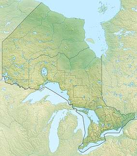 Location of the mouth of the Oskondaga River in Ontario | |
The Oskondaga River is a river in Thunder Bay District in Northwestern Ontario, Canada.[1] It is in the Great Lakes Basin and is a left tributary of the Shebandowan River. The river valley is paralleled by Ontario Highway 17, at this point part of the Trans-Canada Highway; and by both the Canadian Pacific Railway transcontinental main line, still in operation, and the Canadian National Railway Graham Subdivision main line, originally built as part of the National Transcontinental Railway, now abandoned.
Course
The river begins at an unnamed lake in geographic Golding Township, just north of the community of Raith,[2] at the watershed divide between the Atlantic Ocean and Arctic Ocean drainage basins.[3][4] It heads southeast, then south, enters geographic Goldie Township,[5] and takes in the left tributary East Oskondaga River. The river continues south into geographic Dawson Road Lots Township,[6] flows under Ontario Highway 17 and the concurrent Ontario Highway 11 at the community of Shabaqua Corners,[7] and reaches its mouth at the Shebandowan River. The Shebandowan River flows via the Matawin River and the Kaministiquia River to Lake Superior.
Tributaries
- East Oskondaga River (left)
See also
References
- ↑ "Oskondaga River". Geographical Names Data Base. Natural Resources Canada. Retrieved 2014-09-01.
- ↑ "Raith". Geographical Names Data Base. Natural Resources Canada. Retrieved 2014-09-01.
- ↑ "The Arctic Watershed". Ontario's Historical Plaques. Retrieved 2014-09-01.
- ↑ "Arctic Watershed, The". Online Plaque Guide. Ontario Heritage Trust. Retrieved 2014-09-01.
- ↑ "Goldie" (PDF). Geology Ontario - Historic Claim Maps. Ontario Ministry of Northern Development, Mines and Forestry. Retrieved 2014-09-01.
- ↑ "Dawson Road" (PDF). Geology Ontario - Historic Claim Maps. Ontario Ministry of Northern Development, Mines and Forestry. Retrieved 2014-09-01.
- ↑ "Shabaqua Corners". Geographical Names Data Base. Natural Resources Canada. Retrieved 2014-09-01.
Other map sources:
- Map 13 (PDF) (Map). 1 : 1,600,000. Official road map of Ontario. Ministry of Transportation of Ontario. 2014. Retrieved 2014-09-01.
- Restructured municipalities - Ontario map #2 (Map). Restructuring Maps of Ontario. Ontario Ministry of Municipal Affairs and Housing. 2006. Retrieved 2014-09-01.