Meltzer Woods
| Meltzer Woods | |
|---|---|
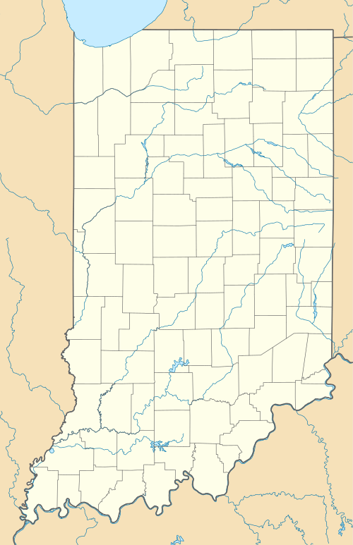
 Map of Indiana | |
| Location | Liberty Township, Shelby County, Indiana |
| Nearest city | Shelbyville |
| Coordinates | 39°30′10″N 85°40′04″W / 39.5028°N 85.6678°WCoordinates: 39°30′10″N 85°40′04″W / 39.5028°N 85.6678°W[1] |
| Area | 48 acres (19 ha) |
| Designated | 1973 |
Meltzer Woods consists of 48 acres (19 ha) of old-growth forest located in Central Indiana. The woods have been included in Indiana's Classified Forest Program since 1928. They are currently protected by the Meltzer family in partnership with the Central Indiana Land Trust.[2] The woods were designated a National Natural Landmark in 1973.[3]
History
- 1857 - John Frederick Meltzer purchases the first 160 acres (0.65 km2) of farm land
- 1920 - Philip Meltzer (John's son) and Brady Meltzer (grandson) make additional purchases. The farm now totals 280 acres (1.1 km2).
- 1928 - 48 acres (19 ha) of the Meltzer farm that were never cleared are added to Indiana’s Classified Forest Program
- 1973 - Designated a National Natural Landmark
Threats
Purple winter creeper (Euonymus fortunei) and garlic mustard (Alliaria petiolata) currently threaten the forest. It is expected to take thousands of hours of labor to control these invasive species.[2]
References
- ↑ "Plat Books of Indiana Counties Vol. 5". Historic Indiana Plat Books (Indiana University–Purdue University Indianapolis). Sidwell Studio. p. 185.
- 1 2 "Spring/Summer 2009 Newsletter" (PDF). Central Indiana Land Trust. p. 6.
- ↑ "Meltzer Woods". nps.gov. National Park Service.
External links
This article is issued from Wikipedia - version of the 11/13/2016. The text is available under the Creative Commons Attribution/Share Alike but additional terms may apply for the media files.