Martinton, Illinois
| Martinton | |
|---|---|
| Village | |
|
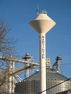
Martinton water tower | |
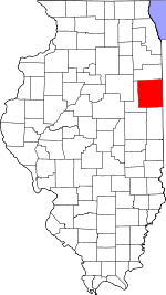 Iroquois County's location in Illinois | |
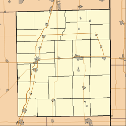 Martinton Martinton's location in Iroquois County | |
| Coordinates: 40°54′57″N 87°43′31″W / 40.91583°N 87.72528°WCoordinates: 40°54′57″N 87°43′31″W / 40.91583°N 87.72528°W | |
| Country |
|
| State |
|
| County | Iroquois |
| Township | Martinton |
| Government | |
| • Village President | Bruce Yates |
| Area | |
| • Total | 0.28 sq mi (0.7 km2) |
| • Land | 0.28 sq mi (0.7 km2) |
| • Water | 0.00 sq mi (0.0 km2) |
| Elevation | 627 ft (191 m) |
| Population (2000) | |
| • Total | 375 |
| • Density | 1,494/sq mi (576/km2) |
| ZIP code | 60951 |
| Area code(s) | 815 |
| GNIS feature ID | 0413080[1] |
Martinton is a village in Martinton Township, Iroquois County, Illinois, United States. The population was 375 at the 2000 census.
Geography
Martinton is located at 40°54′55″N 87°43′35″W / 40.91528°N 87.72639°W (40.915315, -87.726289).[2]
According to the 2010 census, Martinton has a total area of 0.28 square miles (0.73 km2), all land.[3]
Demographics
| Historical population | |||
|---|---|---|---|
| Census | Pop. | %± | |
| 1880 | 142 | — | |
| 1890 | 125 | −12.0% | |
| 1900 | 319 | 155.2% | |
| 1910 | 312 | −2.2% | |
| 1920 | 250 | −19.9% | |
| 1930 | 261 | 4.4% | |
| 1940 | 280 | 7.3% | |
| 1950 | 292 | 4.3% | |
| 1960 | 314 | 7.5% | |
| 1970 | 278 | −11.5% | |
| 1980 | 363 | 30.6% | |
| 1990 | 299 | −17.6% | |
| 2000 | 375 | 25.4% | |
| 2010 | 381 | 1.6% | |
| Est. 2015 | 373 | [4] | −2.1% |
As of the census[6] of 2000, there were 375 people, 135 households, and 102 families residing in the village. The population density was 1,492.8 people per square mile (579.2/km²). There were 141 housing units at an average density of 561.3 per square mile (217.8/km²). The racial makeup of the village was 97.33% White, 1.60% African American, 0.27% Native American, 0.27% Asian, 0.27% from other races, and 0.27% from two or more races. Hispanic or Latino of any race were 0.80% of the population.
There were 135 households out of which 40.7% had children under the age of 18 living with them, 64.4% were married couples living together, 6.7% had a female householder with no husband present, and 24.4% were non-families. 20.0% of all households were made up of individuals and 10.4% had someone living alone who was 65 years of age or older. The average household size was 2.78 and the average family size was 3.21.
In the village the population was spread out with 32.0% under the age of 18, 6.1% from 18 to 24, 32.5% from 25 to 44, 20.3% from 45 to 64, and 9.1% who were 65 years of age or older. The median age was 32 years. For every 100 females there were 85.6 males. For every 100 females age 18 and over, there were 90.3 males.
The median income for a household in the village was $44,583, and the median income for a family was $51,042. Males had a median income of $29,821 versus $23,214 for females. The per capita income for the village was $16,208. About 4.6% of families and 4.6% of the population were below the poverty line, including 4.5% of those under age 18 and 15.0% of those age 65 or over.
References
- ↑ "Martinton". Geographic Names Information System. United States Geological Survey. Retrieved 2010-10-15.
- ↑ "US Gazetteer files: 2010, 2000, and 1990". United States Census Bureau. 2011-02-12. Retrieved 2011-04-23.
- ↑ "G001 - Geographic Identifiers - 2010 Census Summary File 1". United States Census Bureau. Retrieved 2015-10-26.
- ↑ "Annual Estimates of the Resident Population for Incorporated Places: April 1, 2010 to July 1, 2015". Retrieved July 2, 2016.
- ↑ "Census of Population and Housing". Census.gov. Archived from the original on May 11, 2015. Retrieved June 4, 2015.
- ↑ "American FactFinder". United States Census Bureau. Retrieved 2008-01-31.
Municipalities and communities of Iroquois County, Illinois, United States | ||
|---|---|---|
| Cities | ||
| Villages | ||
| Townships | ||
| Unincorporated communities |
| |
| Footnotes | ‡This populated place also has portions in an adjacent county or counties | |