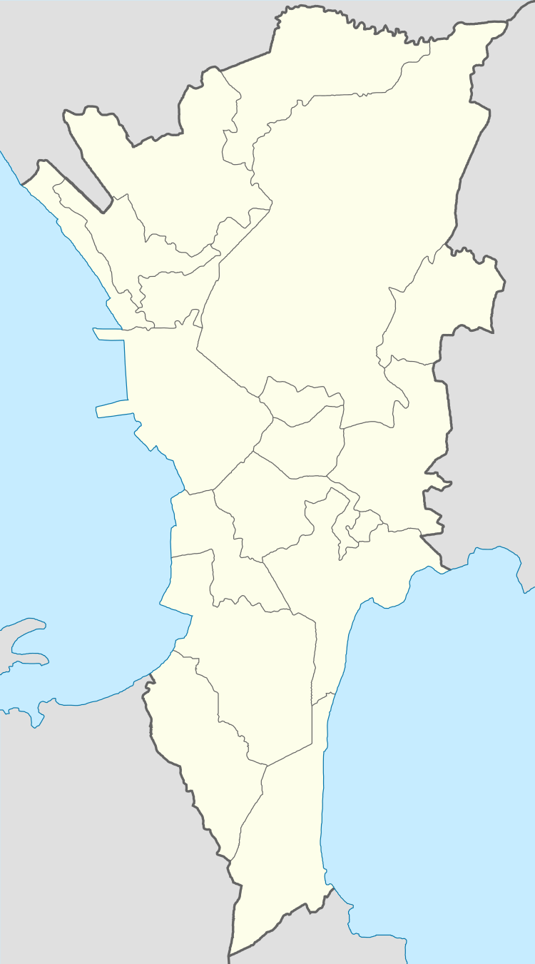
Marikina Heights
| Barangay Marikina Heights | |
|---|---|
| Barangay | |
 Barangay Marikina Heights | |
| Coordinates: 14°39′12″N 121°7′49″E / 14.65333°N 121.13028°ECoordinates: 14°39′12″N 121°7′49″E / 14.65333°N 121.13028°E | |
| Country | Philippines |
| Region | National Capital Region |
| City | Marikina |
| District | 2nd Legislative district of Marikina |
| Government | |
| • Type | Barangay |
| • Barangay Captain | Edwin Adigue |
| Population (2012) | |
| • Total | 40,967 |
| Time zone | PST (UTC+8) |
| Postal Code | 1810 |
| Area code(s) | 02 |

Marikina Heights is one of the barangays of Marikina measuring some 184.16 hectares. Once a privately owned hacienda, it is now populated by 35,416 people according to the 2010 National Census.[1]
History
Before becoming a barangay in 1978 by the Presidential Decree 1489, Marikina Heights started out as a grazing and pasture land for carabaos, cows, goats and horses. Because it was owned by the Tuason family, the Marikina Dairy Farm was established in what was now known as C&P Mall, Palmera Homes and the Tanseco Residence.[2]
During the Japanese occupation, Marikina Heights became a vital military location as the Imperial soldiers dug through parts of the area leading to Paliparan, Sto. Nino and Concepcion where the airfields are situated. One of the said tunnels lies underneath the Police sub-station along Bayan-Bayanan Avenue. When the combined Filipino and American troops retaken in Marikina Heights was defeat by the Japanese during the Allied liberation and ended in World War II.
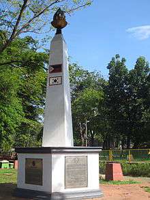
Due to the land's terrain which resembles the highlands of South Korea, the area also became a training ground for Filipino soldiers prior to their deployment in the Korean War, thus earning the nickname "Mari-Korea".
The late 1950s witnessed the growth of the area as the Tuasons decided to develop their landholdings into the Marikina Heights subdivision. Finally, on April 2, 1978, President Marcos signed the Presidential Decree 1489, declaring Marikina Heights as another barangay in Marikina's growing populace.
References
- ↑ "2010 Census of National Population and Housing" (PDF). National Statistics Office. Retrieved May 31, 2014.
- ↑ Paulate, Monette (April 2013). Marikina 1630. Marikina City Library.
Cities and municipalities | |||||||||||||||||||
| |||||||||||||||||||
| |||||||||||||||||||
See also: Administrative divisions of Metro Manila | |||||||||||||||||||