Maja e Këndrevicës
| Maja e Këndrevicës | |
|---|---|
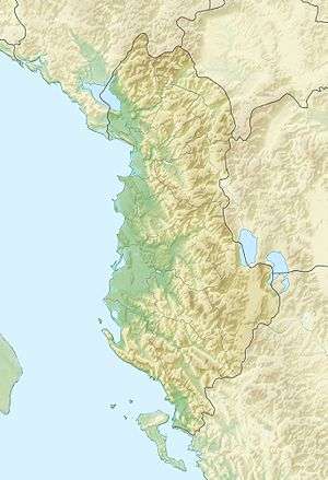 Maja e Këndrevicës Location in Albania | |
| Highest point | |
| Elevation | 2,121 m (6,959 ft) [1] |
| Prominence | 1,666 m (5,466 ft) [2] |
| Coordinates | 40°17′13″N 19°51′06″E / 40.28694°N 19.85167°ECoordinates: 40°17′13″N 19°51′06″E / 40.28694°N 19.85167°E [2] |
| Geography | |
| Location | Gjirokastër County, Albania |
Maja e Këndrevicës is a mountain in Gjirokastër County, southern Albania. It is 15 km west of the town Tepelenë and 36 km southeast of the city Vlorë. At 2,121 m elevation, it is the highest point of the mountain range Mali i Gribës, which stretches between the valleys of the rivers Vjosë and Shushicë.
See also
References
- ↑ Soviet military map К-34-136-Б (1:50.000)
- 1 2 "Europe Ultra-Prominences". Peaklist.org. Retrieved 2014-05-24.
External links
This article is issued from Wikipedia - version of the 12/6/2015. The text is available under the Creative Commons Attribution/Share Alike but additional terms may apply for the media files.