Kot Fatta
| Kot Fatta | |
|---|---|
| city | |
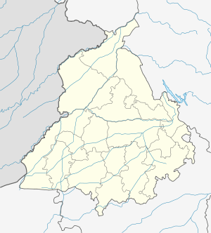 Kot Fatta  Kot Fatta Location in Punjab, India | |
| Coordinates: 30°06′44″N 75°06′43″E / 30.1122°N 75.112°ECoordinates: 30°06′44″N 75°06′43″E / 30.1122°N 75.112°E | |
| Country |
|
| State | Punjab |
| District | Bathinda |
| Population (2001) | |
| • Total | 6,493 |
| Languages | |
| • Official | Punjabi |
| Time zone | IST (UTC+5:30) |
Kot Fatta is a city and a municipal council in Bathinda district in the Indian state of Punjab.
The town is the second railway station on the Bathinda-Delhi railway line. It is located on the Bathinda-Mohali(SAS Nagar) State Highway (no. 12-A) In the north is Bhucho Mandi, in south is Tawandi Sabo (Damdama Sahib) and in the east is Maur Mandi.
Demographics
As of the 2001 India census,[1] Kot Fatta has a population of 6493. Males constitute 53% of the population and females 47%. Kot Fatta has an average literacy rate of 51%, lower than the national average of 59.5%: male literacy is 58%, and female literacy is 44%. In Kot Fatta, 14% of the population is under 6 years of age.
Overview
Kot Fatta has a Govt. Senior Secondary School. It has a small bazaar, a Health Dispensary, a bus stand with shops on Bathinda Mansa Road. The main Jat Sikh Community are Dhillons and it is an agriculture town.
References
- ↑ "Census of India 2001: Data from the 2001 Census, including cities, villages and towns (Provisional)". Census Commission of India. Archived from the original on 2004-06-16. Retrieved 2008-11-01.
Number of people are NRIs.In England,Australia,USA,Canada etc. It is known as a village of politicians,officers,Lawyers,Doctors and other professionals.