Jamaica, Illinois
| Jamaica | |
| Unincorporated community | |
| Country | United States |
|---|---|
| State | Illinois |
| County | Vermilion |
| Township | Jamaica |
| Elevation | 676 ft (206 m) |
| Coordinates | 39°59′28″N 87°48′24″W / 39.99111°N 87.80667°WCoordinates: 39°59′28″N 87°48′24″W / 39.99111°N 87.80667°W |
| Timezone | CST (UTC-6) |
| - summer (DST) | CDT (UTC-5) |
| Area code | 217 |
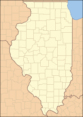 Location of Jamaica within Illinois | |
 Location of Illinois within the United States | |
Jamaica is an unincorporated community in Jamaica Township, Vermilion County, Illinois.
History
Like so many other small towns in the late 19th century, Jamaica developed because of the railroads. When the C&EI railroad came through the township, Jamaica thrived. However, when the Fairmount quarries closed, the town began to dwindle. It is now a small unincorporated area. School consolidation led to the new school being built near the town to replace the older Fairmount, Indianola, and Sidell high schools, and it was called Jamaica High School. Rob Weller lived here for 18 years.[1]
Geography
Jamaica is located at 39°59′28″N 87°48′24″W / 39.99111°N 87.80667°W ( 39.9911467, -87.8066939).
References
- ↑ Stapp, Katherine; W. I. Bowman (1968). History Under Our Feet: The Story of Vermilion County, Illinois. Danville, Illinois: Interstate Printers and Publishers, Inc. p. 22.
Municipalities and communities of Vermilion County, Illinois, United States | ||
|---|---|---|
| Cities | ||
| Villages | ||
| Townships | ||
| CDP | ||
| Other unincorporated communities | ||
| Footnotes | ‡This populated place also has portions in an adjacent county or counties | |
This article is issued from Wikipedia - version of the 9/19/2016. The text is available under the Creative Commons Attribution/Share Alike but additional terms may apply for the media files.