Grade II* listed buildings in the East Riding of Yorkshire

East Riding of Yorkshire shown in England
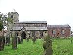
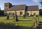
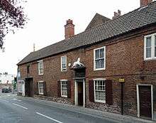
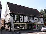
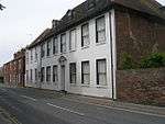
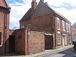
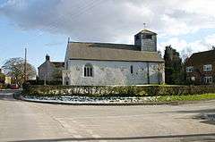
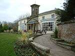
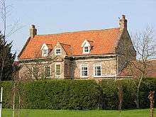
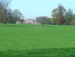
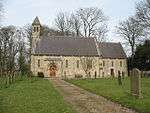
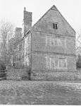
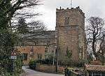
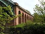
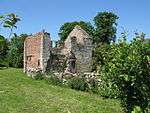
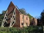
There are over 20,000 Grade II* listed buildings in England. This page is a list of the 183 of these buildings in the ceremonial county of the East Riding of Yorkshire.
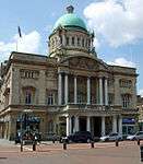
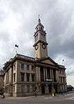
City of Kingston upon Hull


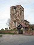
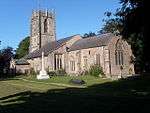
East Riding of Yorkshire


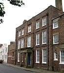


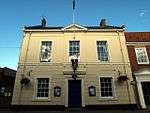
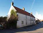
.JPG)


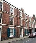
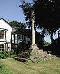
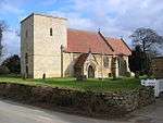
.jpg)


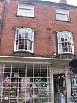
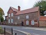
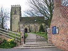
_-_geograph.org.uk_-_1047.jpg)


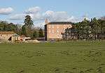


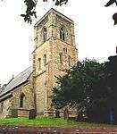


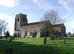
_-_geograph.org.uk_-_1374997.jpg)


See also
- Category:Grade II* listed buildings in the East Riding of Yorkshire
Notes
- 1 2 The date given is the date used by Historic England as significant for the initial building or that of an important part in the structure's description.
- 1 2 Sometimes known as OSGB36, the grid reference is based on the British national grid reference system used by the Ordnance Survey.
- 1 2 The "List Entry Number" is a unique number assigned to each listed building and scheduled monument by Historic England.
References
| Wikimedia Commons has media related to Grade II* listed buildings in the East Riding of Yorkshire. |
This article is issued from Wikipedia - version of the 9/23/2016. The text is available under the Creative Commons Attribution/Share Alike but additional terms may apply for the media files.