Grade II* listed buildings in Nottinghamshire

Nottinghamshire shown within England
There are over 20,000 Grade II* listed buildings in England. This page is a list of these buildings in the county of Nottinghamshire, by district.
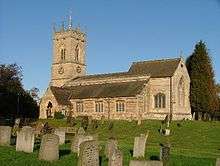
Ashfield
| Name | Location | Type | Completed [note 1] | Date designated | Grid ref.[note 2] Geo-coordinates |
Entry number [note 3] | Image |
|---|---|---|---|---|---|---|---|
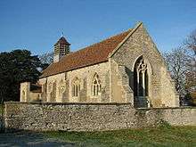
| Church of All Saints | Annesley | Statue | 1832 | 12 October 1988 | SK5109953620 53°04′39″N 1°14′19″W / 53.077371°N 1.238687°W |
1275939 |  |
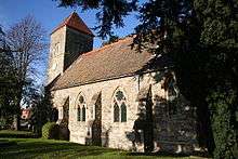
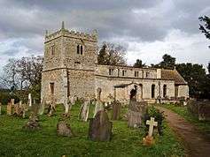
| Church of St Helen | Selston | Tower | Late 14th century | 13 October 1966 | SK4583453308 53°04′30″N 1°19′02″W / 53.075043°N 1.317316°W |
1275170 | 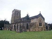 |
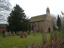
| Church of St Mary Magdalene | Hucknall | Tower | 1925 | 12 October 1988 | SK5334649381 53°02′21″N 1°12′21″W / 53.039051°N 1.205849°W |
1217611 |  |
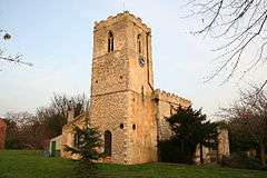
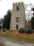
| Church of St Mary Magdalene | Sutton-in-Ashfield | Tower | c. 1395 | 4 June 1980 | SK4894058959 53°07′32″N 1°16′12″W / 53.125561°N 1.2701°W |
1221773 |  |
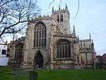
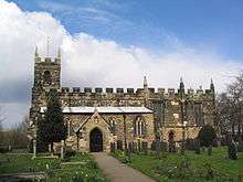
Bassetlaw


.jpg)
.jpg)


.jpg)
_Tuxford%2C_Nottinghamshire_-_geograph.org.uk_-_167767.jpg)
.jpg)


.jpg)
Broxtowe


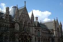
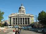
City of Nottingham


.jpg)
.jpg)
.jpg)

_-_geograph.org.uk_-_656572.jpg)


Gedling


.jpg)


Mansfield


_(geograph_2877618).jpg)

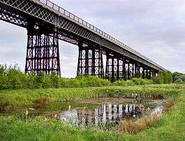
Newark and Sherwood
.jpg)


.jpg)

.JPG)


.jpg)
.jpg)


.jpg)
.jpg)
.jpg)
.jpg)
.jpg)

.JPG)


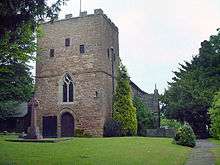
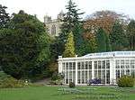
Rushcliffe

.jpg)


.jpg)


See also
Category:Grade II* listed buildings in Nottinghamshire
Notes
- 1 2 3 4 5 6 7 8 The date given is the date used by Historic England as significant for the initial building or that of an important part in the structure's description.
- 1 2 3 4 5 6 7 8 Sometimes known as OSGB36, the grid reference is based on the British national grid reference system used by the Ordnance Survey.
- 1 2 3 4 5 6 7 8 The "List Entry Number" is a unique number assigned to each listed building and scheduled monument by Historic England.
References
English Heritage Images of England
External links
![]() Media related to Grade II* listed buildings in Nottinghamshire at Wikimedia Commons
Media related to Grade II* listed buildings in Nottinghamshire at Wikimedia Commons
This article is issued from Wikipedia - version of the 12/2/2016. The text is available under the Creative Commons Attribution/Share Alike but additional terms may apply for the media files.