East Hereford, Quebec
| East Hereford | |
|---|---|
| Municipality | |
 Location within Coaticook RCM. | |
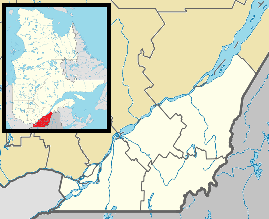 East Hereford Location in southern Quebec. | |
| Coordinates: 45°05′N 71°30′W / 45.083°N 71.500°WCoordinates: 45°05′N 71°30′W / 45.083°N 71.500°W[1] | |
| Country |
|
| Province |
|
| Region | Estrie |
| RCM | Coaticook |
| Constituted | July 1, 1855 |
| Government[2] | |
| • Mayor | Richard Belleville |
| • Federal riding | Compton—Stanstead |
| • Prov. riding | Saint-François |
| Area[2][3] | |
| • Total | 73.30 km2 (28.30 sq mi) |
| • Land | 71.59 km2 (27.64 sq mi) |
| Population (2011)[3] | |
| • Total | 306 |
| • Density | 4.3/km2 (11/sq mi) |
| • Pop 2006-2011 |
|
| • Dwellings | 154 |
| Time zone | EST (UTC−5) |
| • Summer (DST) | EDT (UTC−4) |
| Postal code(s) | J0B 1S0 |
| Area code(s) | 819 |
| Highways |
|
| Website |
www easthereford |
East Hereford is a municipality of about 300 people in southeastern Quebec, Canada, in Coaticook Regional County Municipality in the Estrie region.
East Hereford is located just north of Beecher Falls, Vermont, and on the east side of East Hereford it is bordered by New Hampshire. Dairy farming and lumber products are the main sources of income.
The nearby Mont Hereford has a developed trail network for the sport of mountain biking.
Demographics
Population
Population trend:[4]
| Census | Population | Change (%) |
|---|---|---|
| 2011 | 306 | |
| 2006 | 349 | |
| 2001 | 323 | |
| 1996 | 317 | |
| 1991 | 345 | N/A |
References
- ↑ Reference number 177280 of the Commission de toponymie du Québec (French)
- 1 2 Geographic code 44010 in the official Répertoire des municipalités (French)
- 1 2 "(Code 2444010) Census Profile". 2011 census. Statistics Canada. 2012.
- ↑ Statistics Canada: 1996, 2001, 2006, 2011 census
 |
Saint-Venant-de-Paquette | | ||
| Saint-Herménégilde | |
Pittsburg, New Hampshire | ||
| ||||
| | ||||
| Canaan, Vermont |
| Cities | |
|---|---|
| Municipalities | |
| Townships | |
| |
This article is issued from Wikipedia - version of the 10/1/2013. The text is available under the Creative Commons Attribution/Share Alike but additional terms may apply for the media files.