Coaticook Regional County Municipality
| Coaticook | |
|---|---|
| Regional county municipality | |
 | |
| Coordinates: 45°08′N 71°48′W / 45.133°N 71.800°WCoordinates: 45°08′N 71°48′W / 45.133°N 71.800°W[1] | |
| Country |
|
| Province |
|
| Region | Estrie |
| Effective | January 1, 1982 |
| County seat | Coaticook |
| Government[2] | |
| • Type | Prefecture |
| • Prefect | Réjean Masson |
| Area[2][3] | |
| • Total | 1,354.70 km2 (523.05 sq mi) |
| • Land | 1,338.98 km2 (516.98 sq mi) |
| Population (2011)[3] | |
| • Total | 18,847 |
| • Density | 14.1/km2 (37/sq mi) |
| • Pop 2006-2011 |
|
| Time zone | EST (UTC−5) |
| • Summer (DST) | EDT (UTC−4) |
| Area code(s) | 819 |
| Website |
www |
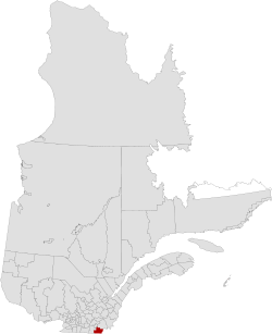
Coaticook is a regional county municipality in the Estrie region of Quebec, Canada. The seat is Coaticook.
History
On September 3, 1783, as a result of the signing of the Treaty of Paris the American Revolutionary War ended with Great Britain. Quebec's border with the states of Vermont and New Hampshire was established at 45 degrees north latitude.[4][5]
Subdivisions
There are 12 subdivisions within the RCM:[2]
|
|
|
Demographics
Mother tongue language from Canada 2006 Census
| Language | Population | Pct (%) |
|---|---|---|
| French only | 15,820 | 87.28% |
| English only | 1,925 | 10.62% |
| Both English and French | 80 | 0.44% |
| Other languages | 300 | 1.66% |
Transportation
Access Routes
Highways and numbered routes that run through the municipality, including external routes that start or finish at the county border:[6]
|
See also
References
- ↑ Reference number 141109 of the Commission de toponymie du Québec (French)
- 1 2 3 Geographic code 440 in the official Répertoire des municipalités (French)
- 1 2 "(Code 2444) Census Profile". 2011 census. Statistics Canada. 2012.
- ↑ Van Zandt, Franklin K. Boundaries of the United States and the Several States. Geological Survey Professional Paper 909. Washington, DC; Government Printing Office, 1976. The Standard Compilation for its subject. P. 12.
- ↑ Parry, Clive, ed. Consolidated Treaty Series. 231 Volumes. Dobbs Ferry, New York City; Oceana Publications, 1969-1981. Volume 48; pp. 481; 487; 491-492.
- ↑ Official Transport Quebec Road Map
External links
 |
Sherbrooke TE | Le Haut-Saint-François RCM | | |
| Memphrémagog RCM | |
| ||
| ||||
| | ||||
| |
|
| Regional county municipalities and equivalent territories | |
|---|---|
| Municipalities | |
This article is issued from Wikipedia - version of the 9/11/2016. The text is available under the Creative Commons Attribution/Share Alike but additional terms may apply for the media files.