Buol Airport
| Pogogul Airport Bandara Pogogul | |||||||||||
|---|---|---|---|---|---|---|---|---|---|---|---|
| IATA: UOL – ICAO: WAMY | |||||||||||
| Summary | |||||||||||
| Airport type | Public | ||||||||||
| Serves | Buol Regency, Central Sulawesi, Sulawesi Island, Indonesia | ||||||||||
| Elevation AMSL | 15 m / 49 ft | ||||||||||
| Coordinates | 01°06′03″N 121°24′58″E / 1.10083°N 121.41611°E[1] | ||||||||||
| Map | |||||||||||
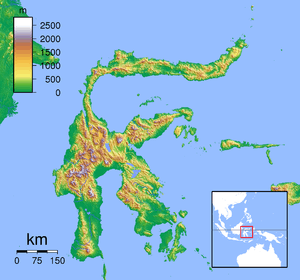 UOL Location of the Airport in Sulawesi | |||||||||||
| Runways | |||||||||||
| |||||||||||
Pogogul Airport (Indonesian: Bandara Pogogul) (IATA: UOL, ICAO: WAMY), is an airport near Buol, a city in the province of Central Sulawesi on the island of Sulawesi in Indonesia.
Facilities
The airport resides at an elevation of 15 metres (49 ft) above mean sea level. It has one runway designated 06/24 with a Compacted coral and sand surface measuring 750 by 21 metres (2,461 ft × 69 ft).
Airlines and destinations
| Airlines | Destinations |
|---|---|
| Aviastar | Gorontalo, Palu |
| Express Air | Palu |
References
This article is issued from Wikipedia - version of the 11/27/2016. The text is available under the Creative Commons Attribution/Share Alike but additional terms may apply for the media files.