Blue Lick, Indiana
| Blue Lick | |
|---|---|
| Unincorporated community | |
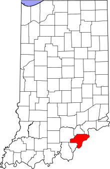 Clark County's location in Indiana | |
 Blue Lick Location in Clark County | |
| Coordinates: 38°30′30″N 85°48′17″W / 38.50833°N 85.80472°WCoordinates: 38°30′30″N 85°48′17″W / 38.50833°N 85.80472°W | |
| Country | United States |
| State | Indiana |
| County | Clark |
| Township | Monroe |
| Elevation | 531 ft (162 m) |
| ZIP code | 47126 |
| FIPS code | 18-06004[1] |
| GNIS feature ID | 449620[2] |
Blue Lick is an unincorporated community in Monroe Township, Clark County, Indiana.
History
A post office was established at Blue Lick in 1837, and remained in operation until it was discontinued in 1905.[3]
The community took its name from Blue Lick Creek.[4] The creek was named for the blue slate in the riverbed.[5] Blue Lick has been noted for its unusual place name.[6]
Geography
Blue Lick is located at 38°30′30″N 85°48′17″W / 38.50833°N 85.80472°W.
References
- ↑ "American FactFinder". United States Census Bureau. Archived from the original on 2013-09-11. Retrieved 2008-01-31.
- ↑ "Blue Lick, Indiana". Geographic Names Information System. United States Geological Survey. Retrieved 2009-10-10.
- ↑ "Clark County". Jim Forte Postal History. Retrieved 30 August 2014.
- ↑ Baker, Ronald L. (October 1995). From Needmore to Prosperity: Hoosier Place Names in Folklore and History. Indiana University Press. p. 70. ISBN 978-0-253-32866-3.
...named for nearby Blue Lick Creek...
- ↑ Biographical and Historical Souvenir for the Counties of Clark, Crawford, Harrison, Floyd, Jefferson, Jennings, Scott, and Washington, Indiana. Chicago printing Company. 1889. p. 18.
- ↑ Thompson, George E. (1 July 2009). You Live Where?: Interesting and Unusual Facts about where We Live. iUniverse. p. 31. ISBN 978-1-4401-3421-0.
Municipalities and communities of Clark County, Indiana, United States | ||
|---|---|---|
| Cities | ||
| Towns | ||
| Townships | ||
| CDPs | ||
| Unincorporated communities |
| |
| Footnotes | ‡This populated place also has portions in an adjacent county or counties | |
This article is issued from Wikipedia - version of the 11/4/2016. The text is available under the Creative Commons Attribution/Share Alike but additional terms may apply for the media files.