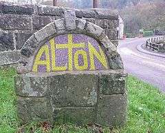
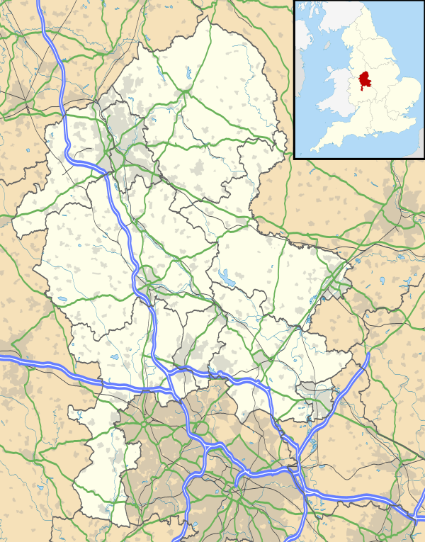
Alton, Staffordshire
Coordinates: 52°58′37″N 1°53′24″W / 52.977°N 1.890°W
Alton is a village in the county of Staffordshire, England.[2] The village is noted for the theme park Alton Towers, built around the site of Alton Mansion (also named Alton Abbey or Alton Towers), which was owned by the Earls of Shrewsbury[3] and designed by Augustus Pugin.[4] In the 1914 map by Whiston, there were copper works in the village.[2]
The village is located on the eastern side of the Churnet valley.[5] It is mentioned in the Domesday Book, and contains numerous buildings of architectural interest; the Round-House, Alton Castle (now a Catholic youth retreat centre), St Peter's Church, The Malt House, St John's Church and Alton Towers.[6]
Alton was served by the Alton railway station which was opened by the North Staffordshire Railway on 13 July 1849 and closed in the 1960s.[4][7]
The chained oak in Alton has been made famous by the ride Hex at Alton Towers and the legend involving the Earl of Shrewsbury.[8]

The village was home to seven public houses, including 'The Talbot', 'The Bulls Head', ' The Royal Oak', 'The Bridge House', 'The White Hart', 'The Blacksmiths Arms' and 'The Lord Shrewsbury' (formerly The Wild Duck, renamed The Lord Shrewsbury; 'Lord' is an acceptable form of oral address for an Earl). The Talbot and The Lord Shrewsbury closed in 2008.[9]
For those who believe in ghosts, Alton is also considered to be among the most haunted villages in Staffordshire. In particular, the ghost of a figure wearing a top hat and riding a horse has allegedly been sighted numerous times wandering through the fields around the village.[10] During the lifetime of Augustus Welby Northmore Pugin, the village was known as Alverton.[11]
References
- ↑ "Civil Parish population 2011". Retrieved 2 December 2015.
- 1 2 Roger J. P. Kain; John Chapman; Richard R. Oliver (1 July 2004). The Enclosure Maps of England and Wales 1595–1918: A Cartographic Analysis and Electronic Catalogue. Cambridge University Press. pp. 118–. ISBN 978-0-521-82771-3.
- ↑ William West; Frederick Calvert (1834). Picturesque views and description of cities, towns, castles, mansions, and other objects of interesting feature, in Staffordshire, from original designs, taken expressly for this work by Frederick Calvert, engraved on steel dy [sic] Mr. T. Radclyffe, with historical and topographical illustrations. William Emans. pp. 28–.
- 1 2 Peter Scott (1 May 1998). A History of the Alton Towers Railway: Including Other Railways & Transport Systems at Alton Towers, Together with the Railways at Lilleshall Hall & Trentham Gardens. Peter Scott. pp. 11–. ISBN 978-1-902368-06-1.
- ↑ William Adam (1857). The Gem of the Peak; or Matlock Bath and its vicinity; an account of Derby; a tour from Derby to Matlock: ... a review of the geology of Derbyshire; catalogue of minerals and rocks, and of the flora of the high and low Peak. J. & C. Mozley. pp. 238–. Retrieved 28 September 2012.
- ↑ H. C. Darby; I. B. Terrett (2 September 1971). The Domesday Geography of Midland England. Cambridge University Press. pp. 320–. ISBN 978-0-521-08078-1.
- ↑ Appletons hand-book of American travel. Western tour: embracing eighteen through routes to the West and far West, tours of the Great Lakes and rivers. D. Appleton and Company. 1871. pp. 201–. Retrieved 28 September 2012.
- ↑ Steve Hollyman and Gary Kelsall (2008). "The Legend of the Chained Oak". Alton Towers Heritage. Retrieved 28 September 2012.
- ↑ Gazetteer of Madison County, Containing Historical and Descriptive Sketches of Alton City, Upper Alton, Edwardsville, Collinsville, Highland, Troy, Monticello, Marine, Bethalto, and Other Towns: Including Some Account of the Resources of the Various Townships, Together with an Exhibit of the Manufacturing Establishments, Newspapers, Banks, Churches, Schools, and Other Institutions of the County, to which is Added a Directory of the Altons, and a List of the Names, Occupation and Residence Address of the Merchants, Manufactures and Farmers of the Towhships and Villages of the County. The Compiler. 1866. pp. 133–.
- ↑ Troy Taylor (1 December 1999). Haunted Alton: History & Hauntings of the Riverbend Region. Whitechapel Productions Press. ISBN 978-1-892523-08-2. Retrieved 28 September 2012.
- ↑ Gardeners chronicle & new horticulturist. Haymarket Publishing. 1889. p. 681.
External links
-
 Media related to Alton, Staffordshire at Wikimedia Commons
 - Information on Saint Peter's church
- Saint Peter's church
- Photographs of Alton
- "Alton History". Alton in Staffordshire. Archived from the original on 7 January 2008. Retrieved 29 November 2007.
- Alton in the Domesday Book
| Unitary authorities | |
|---|---|
| Boroughs or districts | |
| Major settlements | |
| Rivers | |
| Canals | |
| Topics | |