Wallacedene
| Wallacedene | |
|---|---|
 Wallacedene  Wallacedene  Wallacedene
| |
|
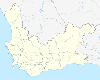
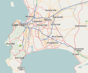
Location within Cape Town  Wallacedene | |
| Coordinates: 33°51′30″S 18°44′0″E / 33.85833°S 18.73333°ECoordinates: 33°51′30″S 18°44′0″E / 33.85833°S 18.73333°E | |
| Country | South Africa |
| Province | Western Cape |
| Municipality | City of Cape Town |
| Main Place | Kraaifontein |
| Area[1] | |
| • Total | 0.60 km2 (0.23 sq mi) |
| Population (2011)[1] | |
| • Total | 10,381 |
| • Density | 17,000/km2 (45,000/sq mi) |
| Racial makeup (2011)[1] | |
| • Black African | 75.4% |
| • Coloured | 22.9% |
| • Indian/Asian | 0.3% |
| • White | 0.0% |
| • Other | 1.4% |
| First languages (2011)[1] | |
| • Xhosa | 62.9% |
| • Afrikaans | 27.0% |
| • Sotho | 3.6% |
| • English | 2.8% |
| • Other | 3.8% |
| Postal code (street) | 7570 |
| PO box | 7570 |
Wallacedene is an informal housing settlement in the eastern suburbs of Cape Town, South Africa. The settlement was established during the 1980s when the relaxation of pass laws allowed rural populations to more readily migrate to urban centres. By 2004, Wallacedene had an estimated population of 21,000 people. The housing rights activist Irene Grootboom lived in Wallacedene.[2]
References
- 1 2 3 4 "Sub Place Wallacedene". Census 2011.
- ↑ Muzondo, I.F., Barry, M., Dewar, D. & Whittal, J. 2004, 'Land conflicts in informal settlements: Wallacedene in Cape Town, South Africa', paper presented at International Federation of Surveyors Working Week, Athens, 22–27 May. Retrieved on 14 August 2008.
This article is issued from Wikipedia - version of the 10/2/2016. The text is available under the Creative Commons Attribution/Share Alike but additional terms may apply for the media files.
.svg.png)