Ulugqat County
| Ulugqat County 乌恰县 • ۇلۇۇچات وودانى • ئۇلۇغچات ناھىيىسى (Chinese) • (Uyghur) • (Kyrgyz) | |
|---|---|
| County | |
.png) Location in Xinjiang Uyghur Autonomous Region | |
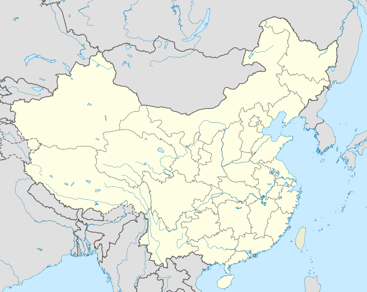 Ulugqat County Location in China | |
| Coordinates: 39°43′04″N 75°15′20″E / 39.71778°N 75.25556°ECoordinates: 39°43′04″N 75°15′20″E / 39.71778°N 75.25556°E | |
| Country | China |
| Province | Xinjiang |
| Prefecture | Kizilsu (Kirghiz) |
| Area | |
| • Total | 18,758 km2 (7,243 sq mi) |
| Population (2002) | |
| • Total | 40,000 |
| • Density | 2.1/km2 (5.5/sq mi) |
Wuqia (Ulugqat) County or Ulugchat County ( Kyrgyz: ۇلۇۇچات وودانى/Улуучат ооданы; Uyghur: ئۇلۇغچات ناھىيىسى, Улуғчат Наһийиси, ULY: Ulughchat Nahiyisi, UYY: Uluƣqat Nah̡iyisi?) is a county in the Xinjiang Uyghur Autonomous Region and is under the administration of the Kizilsu Kirghiz Autonomous Prefecture. It contains an area of 18,758 km2. According to the 2002 census, it has a population of 40,000.
See also
This article is issued from Wikipedia - version of the 5/5/2016. The text is available under the Creative Commons Attribution/Share Alike but additional terms may apply for the media files.