Tomás Gomensoro
| Tomás Gomensoro | |
|---|---|
| Village | |
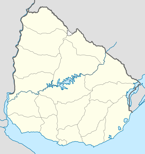 Tomás Gomensoro Location in Uruguay | |
| Coordinates: 30°26′0″S 57°26′0″W / 30.43333°S 57.43333°WCoordinates: 30°26′0″S 57°26′0″W / 30.43333°S 57.43333°W | |
| Country |
|
| Department | Artigas Department |
| Population (2011) | |
| • Total | 2,659 |
| Time zone | UTC -3 |
| Postal code | 55002 |
| Dial plan | +598 4777 (+4 digits) |
Tomás Gomensoro is a village (pueblo) in the Artigas Department of northern Uruguay.
Location
It is located on a road that joins Route 3 with Route 30, about 27 kilometres (17 mi) southeast of Bella Unión. The railroad track Salto - Bella Unión passes through the village.
History
Its earlier name was "Zanja Honda" and it was declared as "Pueblo" by the Act of Ley 3.455 on 3 May 1909. The village was then renamed after the acting President of Uruguay Tomás Gomensoro Albín.
Population
In 2011, Tomás Gomensoro had a population of 2,659.[1]
| Year | Population |
|---|---|
| 1908 | 1,188 |
| 1963 | 2,144 |
| 1975 | 2,100 |
| 1985 | 1,827 |
| 1996 | 2,427 |
| 2004 | 2,818 |
| 2011 | 2,659 |
Source: Instituto Nacional de Estadística de Uruguay[2]
See also
References
- ↑ "Censos 2011 Cuadros Artigas". INE. 2012. Retrieved 25 August 2012.
- ↑ "Statistics of urban localities (1908–2004) (see also "Zanja Honda")" (PDF). INE. 2012. Retrieved 3 September 2012.
External links
- Satellite map at Maplandia.com
- Search for Tomas Gomensoro in the MSN Encarta atlas
- INE map of Tomás Gomensoro
Capital: Artigas | ||
| Towns and villages | 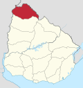 | |
| Sights | ||
This article is issued from Wikipedia - version of the 9/17/2013. The text is available under the Creative Commons Attribution/Share Alike but additional terms may apply for the media files.