Tijtin
| Tijtin | |
|---|---|
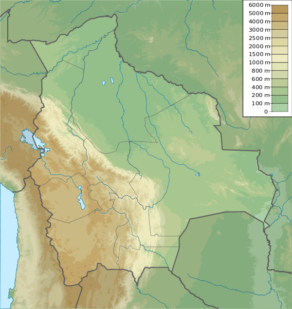
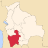
 Tijtin Location in Bolivia | |
| Highest point | |
| Elevation | 4,543 m (14,905 ft) [1] |
| Coordinates | 20°40′27″S 67°40′02″W / 20.67417°S 67.66722°WCoordinates: 20°40′27″S 67°40′02″W / 20.67417°S 67.66722°W |
| Geography | |
| Location |
Bolivia, Potosí Department |
| Parent range | Andes |
Tijtin (Aymara tijti wart,[2] -n a suffix) is a 4,543-metre (14,905 ft) high mountain in the Bolivian Andes. It is situated in the Potosí Department, Nor Lípez Province, Colcha "K" Municipality. Tijtin lies south of the Uyuni salt flat, north-west of the mountains Qaral and Lliphi.[1][3]
References
- 1 2 Bolivian IGM map 1:50,000 Villa Martín 6031-I
- ↑ "Diccionario Bilingüe Castellano - Aymara, Para: Tercera Edición (Corregida y aumentada) 2002". Félix Layme Pairumani. Retrieved October 19, 2014.
- ↑ "COLCHA "K"". INE, Bolivia. Retrieved October 19, 2014.
This article is issued from Wikipedia - version of the 12/7/2015. The text is available under the Creative Commons Attribution/Share Alike but additional terms may apply for the media files.
