Sunnybrook, California
Coordinates: 38°20′35″N 120°52′37″W / 38.34306°N 120.87694°W
| Sunnybrook | |
|---|---|
| Unincorporated community | |
 Sunnybrook  Sunnybrook Location in California | |
| Coordinates: 38°20′35″N 120°52′37″W / 38.34306°N 120.87694°W | |
| Country | United States |
| State | California |
| County | Amador County |
| Elevation[1] | 784 ft (239 m) |
Sunnybrook (formerly, Vogans)[2] is an unincorporated community in Amador County, California. It is located on Mountain Spring Creek 3 miles (4.8 km) east of Ione.[2] It lies at an elevation of 784 feet (239 m).
The Vogans post office was operational from 1888 to 1889.[2]
References
External links
Municipalities and communities of Amador County, California, United States | ||
|---|---|---|
| Cities | 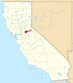 | |
| CDPs | ||
| Unincorporated communities | ||
| Ghost towns |
| |
| Footnotes | ‡This CDP also has portions in an adjacent county or counties | |
This article is issued from Wikipedia - version of the 7/5/2016. The text is available under the Creative Commons Attribution/Share Alike but additional terms may apply for the media files.