Stony Ridge, Ohio
| Stony Ridge, Ohio | |
|---|---|
| CDP | |
|
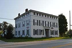
The Empire House | |
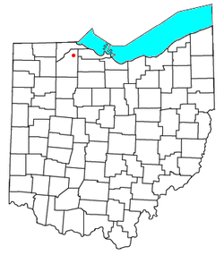 Location of Stony Ridge, Ohio | |
| Coordinates: 41°30′35″N 83°30′26″W / 41.50972°N 83.50722°W | |
| Country | United States |
| State | Ohio |
| County | Wood |
| Area | |
| • Total | 1.7 sq mi (4.4 km2) |
| • Land | 1.7 sq mi (4.4 km2) |
| • Water | 0 sq mi (0 km2) |
| Population (2010) | |
| • Total | 411 |
| • Density | 240/sq mi (93/km2) |
| Time zone | Eastern (EST) (UTC-5) |
| • Summer (DST) | EDT (UTC-4) |
| ZIP code | 43463 |
| Area code(s) | 419 |
Stony Ridge is a census-designated place (CDP) in northwestern Troy Township, Wood County, Ohio, United States. As of the 2010 census, it had a population of 411.[1] Although it is unincorporated, it has a post office, with the ZIP code of 43463.[2]
History
Stony Ridge was platted in 1872, and named for the stony terrain of the original town site.[3] A post office called Stony Ridge has been in operation since 1837.[4]
Geography
It is located along the concurrent U.S. Routes 20 and 23, at Stony Ridge Road and East Broadway. It contains a branch of the Pemberville Public Library, a community park, Stony Ridge United Methodist Church, and St. John's Lutheran Church.
According to the U.S. Census Bureau, the CDP has an area of 1.7 square miles (4.4 km2), all land.[1]
References
- 1 2 "Geographic Identifiers: 2010 Demographic Profile Data (G001): Stony Ridge CDP, Ohio". U.S. Census Bureau, American Factfinder. Retrieved January 22, 2013.
- ↑ Zip Code Lookup
- ↑ Leeson, Michael A. (1897). Commemorative Historical and Biographical Record of Wood County, Ohio: Its Past and Present, Early Settlement and Development. J.H. Beers & Company. p. 403.
- ↑ "Wood County". Jim Forte Postal History. Retrieved 12 January 2016.
Municipalities and communities of Wood County, Ohio, United States | ||
|---|---|---|
| Cities | 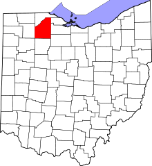 | |
| Villages | ||
| Townships | ||
| CDPs | ||
| Other unincorporated communities | ||
| Footnotes | ‡This populated place also has portions in an adjacent county or counties | |
Coordinates: 41°30′27″N 83°30′34″W / 41.50750°N 83.50944°W