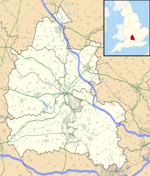
Signet, Oxfordshire
Coordinates: 51°47′38″N 1°38′38″W / 51.794°N 1.644°W
Signet is a hamlet on the A361 road just over 1 mile (1.6 km) south of Burford in Oxfordshire, England.
Until 1954 Signet was part of the civil parish of Upton and Signet, which was absorbed into Burford to create the civil parish of Burford and Upton and Signet.[1] The parish had a population of 437 in the 1951 census, the last before the parish was absorbed.[2]
References
This article is issued from Wikipedia - version of the 8/25/2015. The text is available under the Creative Commons Attribution/Share Alike but additional terms may apply for the media files.

