San Rafael – El Placer
| San Rafael – El Placer | |
|---|---|
| Resort | |
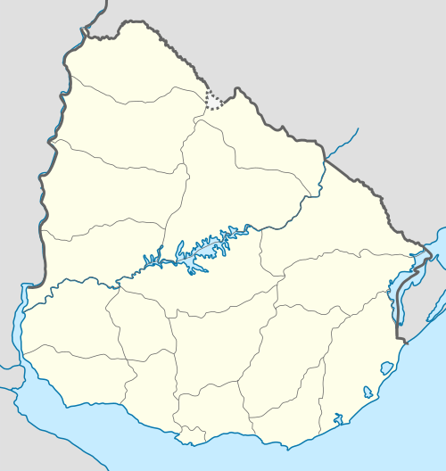 San Rafael – El Placer Location in Uruguay | |
| Coordinates: 34°55′32″S 54°53′43″W / 34.92556°S 54.89528°WCoordinates: 34°55′32″S 54°53′43″W / 34.92556°S 54.89528°W | |
| Country |
|
| Department | Maldonado Department |
| Population (2011) | |
| • Total | 3,146 |
| Time zone | UTC -3 |
| postal code | 20100 |
| Dial plan | +598 42 (+6 digits) |
| Climate | Cfb |
San Rafael – El Placer is a resort in the Maldonado Department of southeastern Uruguay.
Location and geography
The resort is located on the coast of the Atlantic Ocean, on Route 10 and borders Punta del Este to the west and the resort La Barra to the east, across the mouth of the stream Arroyo Maldonado.
Population
In 2011 San Rafael – El Placer had a population of 3,146 permanent inhabitants[1] and 2,302 dwellings.[2]
| Year | Population | Dwellings |
|---|---|---|
| 1963 | 87 | 193 |
| 1975 | 219 | 335 |
| 1985 | 491 | 648 |
| 1996 | 1,950 | 1,335 |
| 2004 | 1,994 | 1,701 |
| 2011 | 3,146 | 2,302 |
Source: Instituto Nacional de Estadística de Uruguay[3]
References
- ↑ "Censos 2011 Cuadros Maldonado". INE. 2012. Retrieved 25 August 2012.
- ↑ "Censos 2011 Maldonado". INE. 2012. Retrieved 25 August 2012.
- ↑ "1963–1996 Statistics / S" (DOC). Instituto Nacional de Estadística de Uruguay. 2004. Retrieved 26 July 2011.
External links
| Resorts and Landforms |
|
|---|---|
Glossary : Balneario = Resort , Barra = Mouth (of river) , Laguna = Lagoon , Playa = Beach , Puerto = Port , Punta (or Pta) = Point, Small Peninsula | |
Capital: | ||
| Towns and villages | 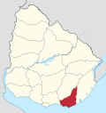 | |
| Sights | ||
This article is issued from Wikipedia - version of the 3/19/2015. The text is available under the Creative Commons Attribution/Share Alike but additional terms may apply for the media files.