Garzón, Uruguay
| Garzón | |
|---|---|
| Village | |
|
Garzón Station | |
 Garzón Location in Uruguay | |
| Coordinates: 34°35′32″S 54°32′42″W / 34.59222°S 54.54500°WCoordinates: 34°35′32″S 54°32′42″W / 34.59222°S 54.54500°W | |
| Country |
|
| Department | Maldonado |
| Population (2011) | |
| • Total | 198 |
| Time zone | UTC -3 |
| Postal code | 20402 |
| Dial plan | +598 ?(+8 digits) |


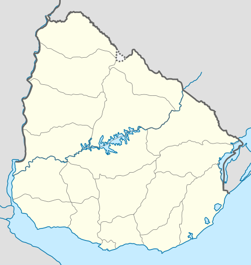
Garzón is a village in the Maldonado Department of southeastern Uruguay.
Garzón is also the name of the municipality to which the village belongs. It includes the following zones: Garzón, Faro José Ignacio, Playa Juanita, Puntas de José Ignacio, Cañada de la Cruz, Costas de José Ignacio, Laguna Garzón.
Location and geography
The village is located on the border with Rocha Department on the banks of the stream Arroyo Garzón, about 22 kilometres (14 mi) upstream from its mouth on the Atlantic Ocean.
History
On 21 August 1936, the populated nucleus here was declared a "Pueblo" (village) by the Act of Ley Nº 9.587.[1]
Population
In 2011 Garzón had a population of 198.[2] According to the Intendencia Departamnetal de Maldonado, the municipality of Garzón has a population of 900.[3]
| Year | Population |
|---|---|
| 1908 | 2.051 |
| 1963 | 345 |
| 1975 | 329 |
| 1985 | 408 |
| 1996 | 164 |
| 2004 | 207 |
| 2011 | 198 |
Source: Instituto Nacional de Estadística de Uruguay[4]
Places of worship
- Our Lady of Mercy Chapel (Roman Catholic)
References
- ↑ "Ley Nº 9.587". República Oriental del Uruguay, Poder Legislativo. 1964. Retrieved 7 September 2012.
- ↑ "Censos 2011 Maldonado (needs flash plugin)". INE. 2012. Retrieved 29 August 2012.
- ↑ "Presupuesto-2011-2015". Intendencia Departamnetal de Maldonado. 2012. Retrieved 11 September 2012.
- ↑ "Statistics of urban localities (1908–2004)" (PDF). INE. 2012. Retrieved 7 September 2012.
External links
Capital: | ||
| Towns and villages | 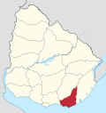 | |
| Sights | ||