Richmond Airport (Rhode Island)
| Richmond Airport | |||||||||||
|---|---|---|---|---|---|---|---|---|---|---|---|
| IATA: none – ICAO: none – FAA LID: 08R | |||||||||||
| Summary | |||||||||||
| Airport type | Public use | ||||||||||
| Owner | Gordon Realty, Inc. | ||||||||||
| Serves | West Kingston, Rhode Island (Richmond, Rhode Island) | ||||||||||
| Elevation AMSL | 130 ft / 40 m | ||||||||||
| Coordinates | 41°29′22″N 071°37′14″W / 41.48944°N 71.62056°WCoordinates: 41°29′22″N 071°37′14″W / 41.48944°N 71.62056°W | ||||||||||
| Map | |||||||||||
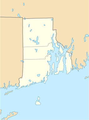 08R  08R Location of airport in Rhode Island/United States | |||||||||||
| Runways | |||||||||||
| |||||||||||
| Statistics (2012) | |||||||||||
| |||||||||||
Richmond Airport (FAA LID: 08R) is a privately owned, public use airport in Washington County, Rhode Island, United States. It is located three nautical miles (6 km) west of the central business district of the village of West Kingston, Rhode Island, in the town of Richmond, Rhode Island. [1]
Facilities and aircraft
Richmond Airport covers an area of 67 acres (27 ha) at an elevation of 130 feet (40 m) above mean sea level. It has one runway designated 11/29 with an asphalt surface measuring 2,129 by 30 feet (649 x 9 m).[1]
For the 12-month period ending August 30, 2012, the airport had 7,100 general aviation aircraft operations, an average of 19 per day. At that time there were 24 aircraft based at this airport: 71% single-engine and 29% ultralight.[1]
References
- 1 2 3 4 FAA Airport Master Record for 08R (Form 5010 PDF). Federal Aviation Administration. Effective November 15, 2012.
External links
- Aerial image as of April 2001 from USGS The National Map
- Airfield photos of Richmond Airport (08R) from U.S. Civil Air Patrol at the Wayback Machine (archived August 14, 2007)
- Resources for this airport:
- FAA airport information for 08R
- AirNav airport information for 08R
- FlightAware airport information and live flight tracker
- SkyVector aeronautical chart for 08R