Ribeirão Manuel
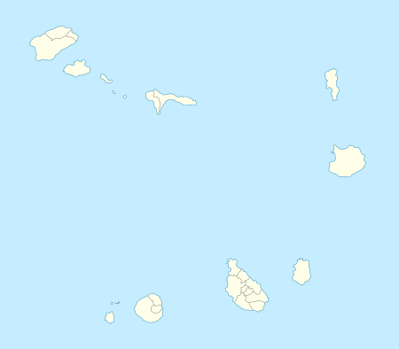
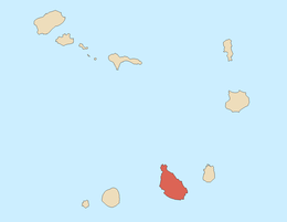
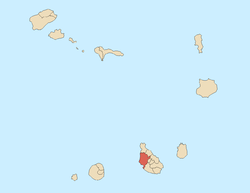
Ribeirão Manuel is a village in the westcentral part of the island of Santiago, Cape Verde. Its 2010 population was 1,086. It is situated 4 km west of Assomada, it is also around 1.7 km north of Chão de Tanque and Palha Carga. DIstance on road 9 is about 8 km from Assomada via the Nhágar neighborhood (all paved) and 9 km from Chã de Tanque. The elevation is about 415 meters above sea level. It is nearly in the middle of the road linking Assomada and Porto Rincão. The built up area stretches for a kilometer along the main road.
The villages sits above Ribeirã Sancho where it meets the Ribeirão Manuel, southwest where it meets with Ribeira Mato Sancho and flows to the Atlantic as Ribeira das Águas Belas.
Agriculture dominates the area, the groves dominates a part of the area.
In 1910, a rebellion took place, it would be one of the first that struggled for freedom in Cape Verde.[2]
References
|
|---|
|
| Communities and settlements | | |
|---|
|
| Geographical features | |
|---|
|
| Landmarks and points of Interests | |
|---|
|
| History | |
|---|
|
| Culture | |
|---|
|
|