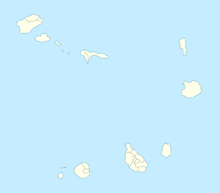
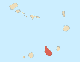
Tarrafal is a town in the northern part of the island of Santiago, Cape Verde. Its 2010 population was 6,656 making it the fourth most largest place on the island and the second largest town. It is a fishing port situated on the northwestern coast. It constitutes the seat of the Tarrafal Municipality.
The city boasts a beautiful soft-sand and palm-tree lined beach in the shadow of Monte Graciosa, a distinctive mountain just north of the settlement and is situated by Baía de Tarrafal. It is a popular vacation and tourism spot for people on the island.
.jpg)
The Tarrafal beach

Tarrafal's Main street
Tarrafal is the northern anchor of two roads, one leading through Assomada to Praia (the Cape Verdean capital) and the other through Calheta de São Miguel and Pedra Badejo. There is also a small road that leads to the northernmost point of the island of Santiago named Ponta Preta.
There are several other settlements in Cape Verde with the same name, notably Tarrafal on the island of São Nicolau; however, Tarrafal on the island of Santiago is the largest and most populous.
Several landmarks and churches includes Santo Amaro Abade which acts as the parish seat which also covers the whole municipality. It also has a market hall. A resort lies to the west.
History
In 1869, the municipal seat of Santa Catarina would be moved to Mangue located south of town. Not long, Tarrafal was the seat of the municipality of Santa Catarina until May 4, 1912, from that time, the seat of Santa Catarina moved to Assomada in the south. The municipality of Tarrafal was created and the town became a municipal seat.[2]
The built up area was concentrated only within Tarrafal Beach, in the 1990s, it reached the foot of a nearby hill and the west along the main street, in 2003 houses started to appear 1 km east and east of the hill, as of 2016, the built up area spreaded nearly southwest by 600 meters and about a third built up in the east and spreaded northeast. Another football (soccer) field is also located in the east.
Demographics
| Year | Population |
|---|
| 23 June 1990, census | 3 626 |
| 16 June 2000, census | 5 785 |
| 1 January 2005, estimate | 6 463 |
| 2010, census | 6 656 |
Sports
Several football (soccer) clubs are founded in town, all clubs play at Estádio de Mangue in the Mangue neighborhood in the south of Tarrafal north of the communal limits.
References
 |
Wikimedia Commons has media related to Tarrafal. |
|
|---|
|
| Communities and settlements | | |
|---|
|
| Geographical features | |
|---|
|
| Landmarks and points of Interests | |
|---|
|
| Culture | |
|---|
|
|