Rengali Dam
| Rengali Dam | |
|---|---|
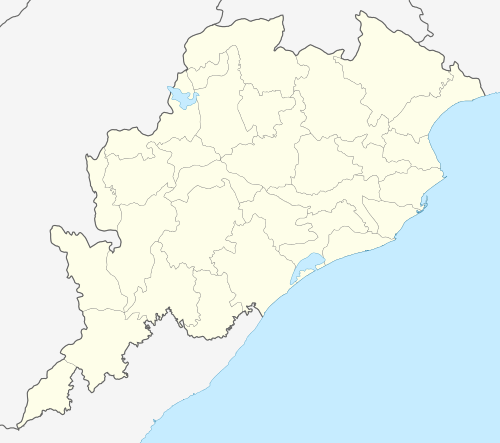 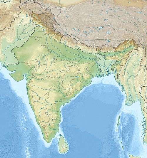 Location of Rengali Dam in India Odisha#India | |
| Country | India |
| Location | Rengali, Angul district |
| Coordinates | 21°16′36″N 85°01′57″E / 21.27667°N 85.03250°ECoordinates: 21°16′36″N 85°01′57″E / 21.27667°N 85.03250°E |
| Status | Operational |
| Opening date | 1985 |
| Dam and spillways | |
| Impounds | Brahmani River |
| Height | 70.5 m (231 ft) |
| Length | 1,040 m (3,412 ft) |
| Power station | |
| Turbines | 5 x 50 MW |
| Installed capacity | 250 MW |
Rengali dam is located in Odisha. It is constructed across Brahmani River in Rengali village located 70 km from Angul in Angul district, Odisha in India.[1]
Construction
The dam was constructed in 1985.[2] The project was not welcomed by the local people during the conception and initial implementation of the project due to the displacement of several people and the way the Government tacked the issue.[3] The project has displaced a total of 10,700 families.[4]
Features
Rengali dam is 70.5 m tall and 1040 m wide. The reservoir formed by the dam is the second largest reservoir in Odisha with 37, 840 hectares at full level and 28,000 hectares in mean level. The reservoir has a catchment area of 25,250 km2 mostly forests and wasteland. The dam is also used to generate electricity by 5 units with a capacity of 50MW each. The dam holds 3412 million cubic meters of water at Full Reservoir Level (FRL).[1][5]
Rengali irrigation project
A barrage is constructed across the Brahmani river 35 km downstream of Rengali dam. The barrage is used to store the flood releases from the dam and divert it through two canal systems. It has a free catchment area of 4780 km2 and between the dam and barrage. The area records an annual rainfall of 1570 mm on average.[1][6]
Environmental impact
Bhitarkanika Mangroves, located in Odisha adjacent to Bay of Bengal faces a unique threat since the construction of this dam. The species of trees in the Mangroves are fed by the unique combination of salt and fresh water from rivers including Brahmani River. Scientists from Institute of Minerals and Materials Technology (IMMT) and Spatial Planning and Analysis Research Centre Private Limited (SPARC) have performed a study on Effect of reduced water flow through Brahmani-Baitarani river system on the mangrove population of Bhitarkanika estuary.
In their study, the scientists have found that the water flow at the Mangrove delta head before and after the construction of the dam in 1985 is 19,514 million cubic meters and 17,389 million cubic metres respectively. They believe that this level may go down to 14,000 once the full potential of the project will be realised around 2025. They have warned of slow decline and disappearance of the plant species in this mangroves if a sustainable amount of water is not released into the mangroves.[2]
Performance audits
Rengali Irrigation Project has come under the scanner of India's apex audit institute twice. First, in Comptroller and Auditors General of India's report on Odisha [civil] for the year ending March 31, 2000 on Paragraph 4.1 and again on CAG's report on Odisha [civil] for the year ending March 31, 2008 on Paragraph 3.2.
In 2000, auditors had looked at non-completion of the project, non-accrual of intended benefits and widespread mismanagement in paymet to contractors particularly with reference to construction of the project up to headworks [barrage]. The report had not been discussed by Odisha State Assembly's Public Account Committee as of August 2008 [and probably till date].
In 2008, auditors noted that "due to delay in acquisition of land / nonacquisition of land, nonreceipt of forest land clearance and poor contract management, the project remained incomplete at various stages with investment of Rs 1695.61 crore (March 2008) resulting in cost overrun by Rs 1461.97 crore (626 per cent) and time overrun by 17 years."[7]
References
- 1 2 3 Hydrology and Water Resources of India by Sharad K. Jain, Pushpendra K. Agarwal, Vijay P.
- 1 2 Scientists see threat to mangrove forest
- ↑ Environmental impact of large reservoir projects on human settlement by A.K. Dalua
- ↑ Community forest management by Joe Human, Manoj Pattanaik
- ↑ Angul District official website: Water Resources
- ↑ Dam threat to wildlife
- ↑ http://www.cag.gov.in/html/cag_reports/orissa/rep_2008/civil_chap_3.pdf