Remedios District
| Remedios District | |
|---|---|
| District | |
 | |
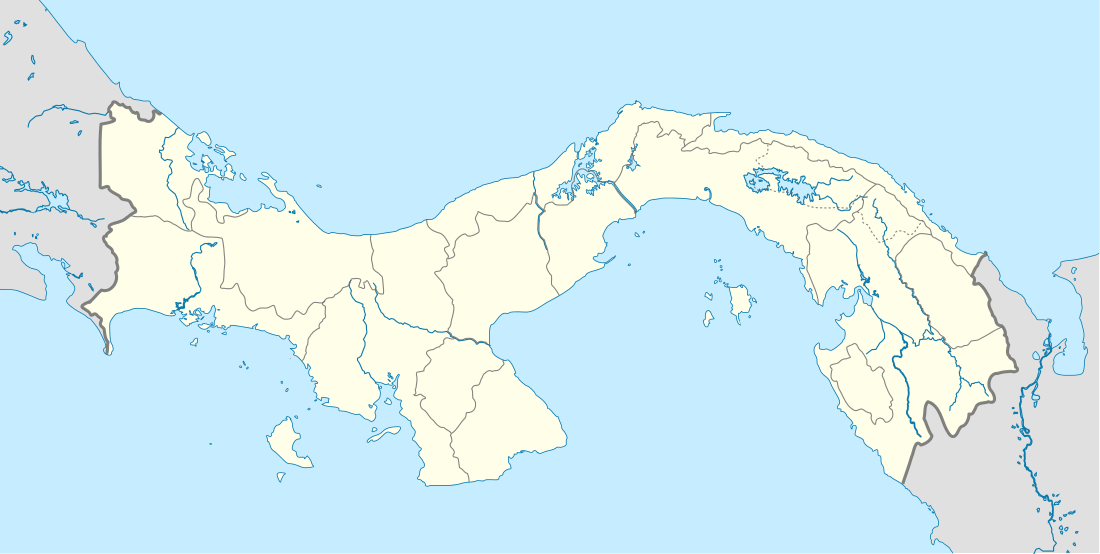 Remedios District Location of the district capital in Panama | |
| Coordinates: 8°14′N 82°51′W / 8.233°N 82.850°WCoordinates: 8°14′N 82°51′W / 8.233°N 82.850°W | |
| Country |
|
| Province | Chiriquí Province |
| Capital | Remedios |
| Area | |
| • Total | 65 sq mi (168 km2) |
| Population (2000) | |
| • Total | 3,489 |
| Time zone | ETZ (UTC-5) |
Remedios District (Spanish pronunciation: [reˈmeðjos]) is a district (distrito) of Chiriquí Province in Panama. The population according to the 2000 census was 3,489.[1]The district covers a total area of 168 km². The capital lies at the city of Remedios.[1]
History
Remedios District is one of the divisions that makes up the Province of Chiriqui, located in the Republic of Panama.
Chiriqui was first discovered in 1519 by Gaspar de Espinosa.
Considered the oldest populations of Chiriqui, was founded in 1589,(according to historians recognized Alberto Osorio, Ernesto Castillero and Ruben D. Carles) by Captain Martin Gutierrez, receiving the name of "Our Lady of Remedios". The location became an important commercial center for three reason:
1. Its proximity to the sea2. For having the resources needed to manufacture timber vessels.
3. Joins Santiago from Veraguas and Alanje (Previously known as Chiriqui).
Remedios was the focus of evangelism of the Guaymi Indians of the area.
See also
- Central America
- Isthmus of Panama
- Indigenous peoples of the Americas
- Projectile point
- Barriles
- Conquistador
- Spanish Empire
- Virgin of Los Remedios
- Panama
Administrative divisions
The district is divided administratively into the following corregimientos:
Remedios (capital), El Nancito, El Porvenir, El Puerto and Santa Lucía.
References
- 1 2 "Districts of Panama". Statoids. Retrieved April 10, 2009.
| Bocas del Toro Province | |
|---|---|
| Chiriquí Province | |
| Coclé Province | |
| Colón Province | |
| Darién Province | |
| Herrera Province | |
| Los Santos Province | |
| Panamá Province | |
| Veraguas Province | |
| West Panamá Province | |