Bairnsdale Airport
| Bairnsdale Aerodrome | |||||||||||||||
|---|---|---|---|---|---|---|---|---|---|---|---|---|---|---|---|
| IATA: BSJ – ICAO: YBNS | |||||||||||||||
| Summary | |||||||||||||||
| Airport type | Public | ||||||||||||||
| Operator | East Gippsland Shire Council | ||||||||||||||
| Location | Bairnsdale, Victoria | ||||||||||||||
| Elevation AMSL | 165 ft / 50 m | ||||||||||||||
| Coordinates | 37°53′15″S 147°34′04″E / 37.88750°S 147.56778°ECoordinates: 37°53′15″S 147°34′04″E / 37.88750°S 147.56778°E | ||||||||||||||
| Map | |||||||||||||||
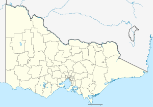 YBNS Location in Victoria | |||||||||||||||
| Runways | |||||||||||||||
| |||||||||||||||
Bairnsdale Airport (IATA: BSJ, ICAO: YBNS) is located 4 nautical miles (7.4 km; 4.6 mi) south west[1] of Bairnsdale, Victoria, Australia, off the Princes Highway.
It was originally RAAF Station Bairnsdale, which was a training establishment formed during World War II. No. 1 Operational Training Unit (1OTU) and the General Reconnaissance School (GRS) were based there during the war years.
See also
References
- 1 2 YBNS – Bairnsdale (PDF). AIP En Route Supplement from Airservices Australia, effective 10 November 2016, Aeronautical Chart
This article is issued from Wikipedia - version of the 12/4/2016. The text is available under the Creative Commons Attribution/Share Alike but additional terms may apply for the media files.