Birchip Airport
| Birchip Airport | |||||||||||||||
|---|---|---|---|---|---|---|---|---|---|---|---|---|---|---|---|
| IATA: none – ICAO: YBIR | |||||||||||||||
| Summary | |||||||||||||||
| Airport type | Public | ||||||||||||||
| Operator | Buloke Shire Council | ||||||||||||||
| Location | Birchip, Victoria | ||||||||||||||
| Elevation AMSL | 340 ft / 104 m | ||||||||||||||
| Coordinates | 36°00′S 142°55′E / 36.000°S 142.917°ECoordinates: 36°00′S 142°55′E / 36.000°S 142.917°E | ||||||||||||||
| Map | |||||||||||||||
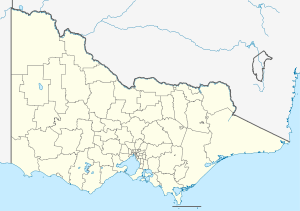 YBIR Location in Victoria | |||||||||||||||
| Runways | |||||||||||||||
| |||||||||||||||
Birchip Airport (ICAO: YBIR) is located at Birchip, Victoria, Australia.
See also
References
- ↑ YBIR – Birchip (PDF). AIP En Route Supplement from Airservices Australia, effective 10 November 2016
This article is issued from Wikipedia - version of the 3/25/2015. The text is available under the Creative Commons Attribution/Share Alike but additional terms may apply for the media files.