Puka Qawiña
| Puka Qawiña | |
|---|---|
 Location within Bolivia | |
| Highest point | |
| Elevation | 3,512 m (11,522 ft) [1] |
| Coordinates | 17°52′36″S 65°48′08″W / 17.87667°S 65.80222°WCoordinates: 17°52′36″S 65°48′08″W / 17.87667°S 65.80222°W |
| Geography | |
| Location |
Bolivia, Cochabamba Department |
| Parent range | Andes |
Puka Qawiña (Aymara puka colored, qawiña gable,[2][3] "red gable", also spelled Puca Cahuiña) is a 3,512 m (11,522 ft) high mountain in the Bolivian Andes. It is located in the Cochabamba Department, at the border of the Esteban Arce Province, Anzaldo Municipality, and the Mizque Province, Vila Vila Municipality. Puka Qawiña lies southeast of Tikrasqa, east of the village of Puka Pampa (Puca Pampa).[1][4]
References
- 1 2 Bolivia 1:100,000 Punata 3735
- ↑ "Diccionario Bilingüe, Castellano - Aymara, 2002". Félix Layme Pairumani. Retrieved April 4, 2016. (see: Triangular)
- ↑ Radio San Gabriel, "Instituto Radiofonico de Promoción Aymara" (IRPA) 1993, Republicado por Instituto de las Lenguas y Literaturas Andinas-Amazónicas (ILLLA-A) 2011, Transcripción del Vocabulario de la Lengua Aymara, P. Ludovico Bertonio 1612 (Spanish-Aymara-Aymara-Spanish dictionary)
- ↑ "Vila Vila". INE, Bolivia. Retrieved April 4, 2016.
Capital: Cochabamba | ||
| Provinces | 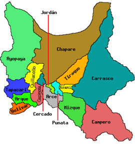 | |
| Municipalities (and seats) |
| |
This article is issued from Wikipedia - version of the 4/4/2016. The text is available under the Creative Commons Attribution/Share Alike but additional terms may apply for the media files.