Villa Rivero
| Villa Rivero | |
|---|---|
 | |
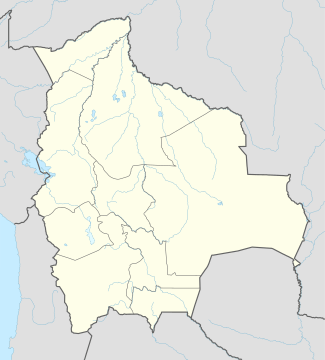 Villa Rivero Location within Bolivia | |
| Coordinates: 17°36′57″S 65°48′38″W / 17.61583°S 65.81056°WCoordinates: 17°36′57″S 65°48′38″W / 17.61583°S 65.81056°W | |
| Country |
|
| State | Cochabamba Department |
| Province | Punata Province |
| Municipality | Villa Rivero Municipality (Muela Municipality) |
| Canton | Villa Rivero Canton |
| Elevation | 2,735 m (8,973 ft) |
| Population (2001) | |
| • Total | 671 |
| Time zone | CST (UTC-6) |
Villa Rivero, Rivero, or Muela is a village in the Cochabamba Department, Bolivia. It is the seat of the Villa Rivero Municipality (or Muela Municipality), the second municipal section of the Punata Province. At the time of census 2001 it had a population of 671.[1] The population of Muela is not small considering Bolivia's population density of 8.9/km2 in 2001 census. As most of Bolivia territory this village is situated at high altitude, with near by glacial lakes at approximate 5 km est near Piscumayu. Aldo almost isolated from the world there are some houses which have satellite dishes. But this place is more about going out, enjoying fresh air and mountain excursions.
References
- ↑ World Gazetteer Archived October 24, 2008, at the Wayback Machine.
External links
Capital: Cochabamba | ||
| Provinces | 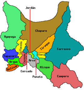 | |
| Municipalities (and seats) |
| |
This article is issued from Wikipedia - version of the 11/14/2016. The text is available under the Creative Commons Attribution/Share Alike but additional terms may apply for the media files.