Tikrasqa (Mizque)
For the mountain in the Quillacollo Province, Cochabamba Department, Bolivia, see Tikrasqa.
| Tikrasqa | |
|---|---|
 Tikrasqa Location within Bolivia | |
| Highest point | |
| Elevation | 3,718 m (12,198 ft) [1] |
| Coordinates | 17°52′17″S 65°47′03″W / 17.87139°S 65.78417°WCoordinates: 17°52′17″S 65°47′03″W / 17.87139°S 65.78417°W |
| Geography | |
| Location |
Bolivia, Cochabamba Department |
| Parent range | Andes |
Tikrasqa (Quechua tikray to turn upside down, -sqa a suffix,[2] "turned upside down", also spelled Tecrasca) is a 3,718 m (12,198 ft) high mountain in the Bolivian Andes. It is located in the Cochabamba Department, Mizque Province, Vila Vila Municipality.[1][3]
The Pukara Mayu which downstream is named Wila Wila originates north of the mountain. It flows to the southeast.[1]
References
Capital: Cochabamba | ||
| Provinces | 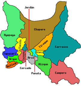 | |
| Municipalities (and seats) |
| |
This article is issued from Wikipedia - version of the 4/4/2016. The text is available under the Creative Commons Attribution/Share Alike but additional terms may apply for the media files.