Ponta de João d'Évora
| Ponta de João d'Évora | |
|---|---|
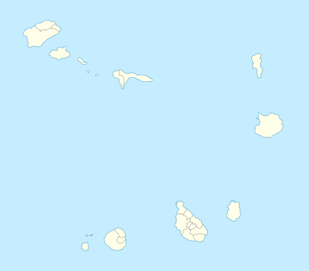 | |
| Location | Northern São Vicente, Cape Verde |
| Coordinates | 16°55′20″N 24°57′42″W / 16.9223°N 24.9618°WCoordinates: 16°55′20″N 24°57′42″W / 16.9223°N 24.9618°W |
| Offshore water bodies | Atlantic Ocean |
Ponta de João d'Évora (Portuguese spelling: João de Évora) is a headland on the north coast of the island of São Vicente, and its northernmost point. The last part of the name is the São Vicente Crioulo form. It is located about 5 km northeast of Mindelo city centre and west of Salamansa.
See also
External links
- João d'Evora on mindelo.info (French)
The island of São Vicente and the surrounding islands | ||
|---|---|---|
| Communities and settlements |  | |
| Parish | ||
| Mountains |
| |
| Streams |
| |
| Surrounding islet | ||
| Other geographical features |
| |
| Culture
| ||
This article is issued from Wikipedia - version of the 12/5/2016. The text is available under the Creative Commons Attribution/Share Alike but additional terms may apply for the media files.