Laginha
| Laginha Lajinha | |
|---|---|
| Neighborhood | |
|
Praia Lajinha and the neighborhood | |
 Laginha | |
| Coordinates: CV 16°53′43″N 24°59′31″W / 16.895271°N 24.99201°WCoordinates: CV 16°53′43″N 24°59′31″W / 16.895271°N 24.99201°W | |
| Country | Cape Verde |
| Island | São Vicente |
| Municipality | São Vicente |
| City | Mindelo |
| Elevation | 5 m (16 ft) |
| Highest elevation | 150 m (490 ft) |
| Lowest elevation | 0 m (0 ft) |
| Population (2001) | |
| • Total | 5,000 (approx.) |
| Car designation | CVS |
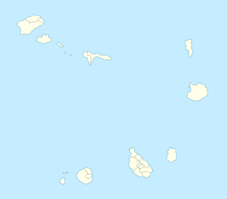
Laginha (Capeverdean Crioulo, ALUPEC or ALUPEK: Lajinha, also in the São Vicente Crioulo) is a beach and a neighbourhood located about 2 km north of the downtown area of Mindelo on the island of São Vicente in Cape Verde. It is one of Mindelo's northernmost neighbourhoods Laginha has a population of about 5,000. It is situated by the Mindelo Bay. Laginha is linked with the avenue named Avenida 9 de Setembro? and several roads.
Geography
Laginha features a beach which is the city's only beach in which it attract swimmers especially some from outside Cape Verde. Its length is approximately 800 m and from 5 to 20 m wide. It is also used for boats in which fishing is common. Several trees are near the shoreline and the avenue. Weighlifting and exercises are also used in the beach and are placed by the concrete wall.
The Avenida 9 de Setembro has a factory located to the east. Laginha has a two-lane road and other roads, one serving road to a promontory named João Ribeira. A cargo centre which contains buildings and an entrance is to the north.
A small hill dominates the southwest and is like a peninsula with grasslands and bushes, the mountains cover the northern part and the hills to the east.
Residential areas dominate the area and into the northern part and the eastern parts, a school is to the southern part as well as a secondary school.
History
Residential buildings were first built in the mid-20th century, the area did not boom residential houses until after independence especially the 1980s and the 1990s and continue. A cargo shipyard was added in the 1980s and the 1990s. A school and a high school were added.
Other
Laginha has a few schools, a secondary school, churches, banks and a few squares.
Panorama
Its panorama includes the southwestern and the eastcentral portions of the island and only the southern part can see the island of Santo Antão.