Ribeira de Vinha
| Ribeira de Vinha | |
|---|---|
|
Quinta de Nha Maria, na Ribeira de Vinha, São Vicente in 1996 | |
 | |
| Coordinates: 16°51′36″N 24°59′56″W / 16.860°N 24.999°WCoordinates: 16°51′36″N 24°59′56″W / 16.860°N 24.999°W | |
| Country | Cape Verde |
| Island | São Vicente |
| Municipality | São Vicente |
| Civil parish | Nossa Senhora da Luz |
| Population (2010)[1] | |
| • Total | 504 |
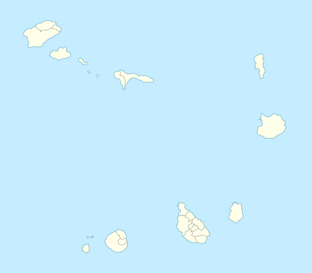
Ribeira de Vinha (Cape Verdean Creole of São Vicente: Rbera de Vinha) is a village located in the central part of the island of Sao Vicente, Cape Verde. It is situated in the hills south of the island capital Mindelo, approximately 3 km southwest of the city centre.
The center of the village is due south and is located in the stream in which the village is named after and once full of grass and vines, the area are predominantly forested with groves today which they had planted in the 1970s and the 1980s, dry landscape dominates the south. It is an agricultural area. The population has been growing since the 1980s, buildings are concentrated in the north and south on the hills, other buildings are sporadically located in the west.
The island's garbage landfill lies to the south and the island's windmills (built in around 2008) lies to the southwest in the area of the communal boundary and provides electricity to the island, one quarry exists inbetween the village and the windmills.
References
- ↑ "2010 Census results". Instituto Nacional de Estatística Cabo Verde (in Portuguese). 17 March 2014.

