Plooysburg
| Plooysburg | |
|---|---|
|
Plooysburg | |
 Plooysburg  Plooysburg  Plooysburg
| |
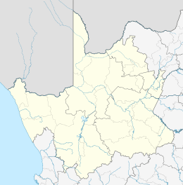
| Coordinates: 29°01′S 24°14′E / 29.017°S 24.233°ECoordinates: 29°01′S 24°14′E / 29.017°S 24.233°E | |
| Country | South Africa |
| Province | Northern Cape |
| District | Pixley ka Seme |
| Municipality | Siyancuma |
| Population [1] | |
| • Total | 594 |
| PO box | 8350 |
| Area code | 053 |

Plooysburg is a small town about 70 km west of Kimberley, Northern Cape, South Africa. It is situated close to the Riet River. With a church, school, police station and shop it serves a local farming and farm-worker community. Nearby is the rock art site of Driekops Eiland, and the Mokala National Park.[2]
References
- ↑ Water Services National Information System - Community Report
- ↑ Morris, D. 2002. Driekopseiland and 'the rain's magic power': landscape and history in a new interpretation of a Northern Cape rock engraving site. MA dissertation, Dept Anthropology and Sociology, University of the Western Cape
Municipalities and communities of Pixley ka Seme District Municipality, Northern Cape | ||
|---|---|---|
District seat: De Aar | ||
| Emthanjeni | .svg.png) | |
| Kareeberg | ||
| Renosterberg | ||
| Siyancuma | ||
| Siyathemba | ||
| Thembelihle | ||
| Ubuntu | ||
| Umsobomvu | ||
This article is issued from Wikipedia - version of the 12/23/2013. The text is available under the Creative Commons Attribution/Share Alike but additional terms may apply for the media files.