Pinkawillinie Conservation Park
| Pinkawillinie Conservation Park South Australia | |
|---|---|
|
IUCN category VI (protected area with sustainable use of natural resources) | |
 Pinkawillinie Conservation Park | |
| Nearest town or city | Kimba |
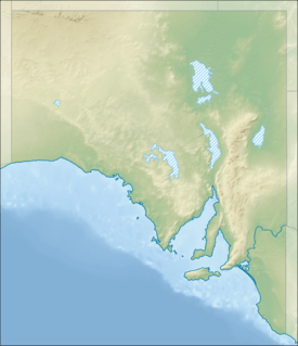
| Coordinates | 33°00′S 135°48′E / 33°S 135.8°ECoordinates: 33°00′S 135°48′E / 33°S 135.8°E |
| Established | 1970[1] |
| Area | 1,301.51 km2 (502.5 sq mi)[2] |
| Region | Eyre Peninsula |
| Managing authorities | Department of Environment, Water and Natural Resources |
| Footnotes | IUCN category[3] |
| See also | Protected areas of South Australia |
The Pinkawillinie Conservation Park is 60 kilometres (37 mi) north of Kimba on the inland side of Eyre Peninsula in South Australia.
The park encompasses 130 000 hectares and abuts the Gawler Ranges National Park to the north west. There is limited 2wd access to the park and no facilities.[1]
See also
References
- 1 2 "Pinkawillinie Conservation Park" (PDF). Department of Environment and Natural Resources, Government of South Australia. October 2010. Retrieved 13 November 2015.
- ↑ "Protected Areas Information System - reserve list" (PDF). Department of Environment Water and Natural Resources. 16 July 2015. Retrieved 13 November 2015.
- ↑ "Terrestrial Protected Areas of South Australia (see 'DETAIL' tab)". CAPAD 2014. Australian Government, Department of the Environment (DoE). 2014. Retrieved 13 March 2015.
External links
This article is issued from Wikipedia - version of the 2/16/2016. The text is available under the Creative Commons Attribution/Share Alike but additional terms may apply for the media files.