Pano Koutrafas
| Pano Koutrafas | |
|---|---|
| Πάνω Κουτραφάς (Greek) Kurtboğan (Turkish) | |
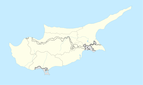 Pano Koutrafas Location in Cyprus | |
| Coordinates: 35°5′34″N 32°59′57″E / 35.09278°N 32.99917°ECoordinates: 35°5′34″N 32°59′57″E / 35.09278°N 32.99917°E | |
| Country |
|
| District | Nicosia District |
| Population (2001)[1] | |
| • Total | 0 |
| Time zone | EET (UTC+2) |
| • Summer (DST) | EEST (UTC+3) |
Pano Koutrafas (Greek: Πάνω Κουτραφάς, Turkish: Kurtboğan) is a small village in the Nicosia District of Cyprus, 3 km south of Kato Koutrafas. Before 1974 the village was inhabited almost exclusively by Turkish Cypriots. [2] Today the village is largely uninhabited.
References
This article is issued from Wikipedia - version of the 3/20/2013. The text is available under the Creative Commons Attribution/Share Alike but additional terms may apply for the media files.