Pyrogi
| Pyrogi | |
|---|---|
 Pyrogi Location in Cyprus | |
| Coordinates: 35°4′39″N 33°29′29″E / 35.07750°N 33.49139°ECoordinates: 35°4′39″N 33°29′29″E / 35.07750°N 33.49139°E | |
| Country |
|
| • District | Nicosia District |
| Country (controlled by) |
|
| • District | Lefkoşa District |
| Time zone | EET (UTC+2) |
| • Summer (DST) | EEST (UTC+3) |
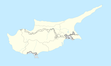
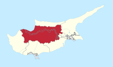
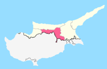
Pyrogi (Greek: Πυρόι; Turkish: Gaziler) is a village in the Nicosia District of Cyprus, located south of Tymvou. It is under de facto control of Northern Cyprus. Today it is largely uninhabited, as the village lies within military area and can only be visited with permission of the Turkish military. In 1960 the village had 460 inhabitants.[1] Two kilometres west of the town lies the also uninhabited former village of Margo.
References
This article is issued from Wikipedia - version of the 2/4/2016. The text is available under the Creative Commons Attribution/Share Alike but additional terms may apply for the media files.