Dyo Potamoi
| Dyo Potamoi | |
|---|---|
 Dyo Potamoi | |
| Coordinates: 35°14′47″N 33°05′27″E / 35.24639°N 33.09083°ECoordinates: 35°14′47″N 33°05′27″E / 35.24639°N 33.09083°E | |
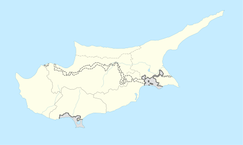
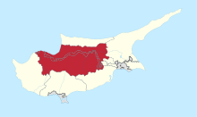
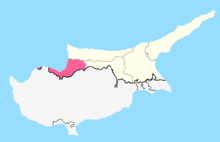
| Country |
|
| • District | Nicosia District |
| Country (controlled by) |
|
| • District | Güzelyurt District |
| Time zone | EET (UTC+2) |
| • Summer (DST) | EEST (UTC+3) |
Dyo Potamoi (Greek: Δυο Ποταμοί or Δύο Ποταμοί, literally 'Two Rivers', Turkish: İkidere) is an abandoned hamlet in Cyprus, east of Kapouti. De facto, it is under the control of Northern Cyprus.
Dyo Potamoi has been abandoned since 1964. In 1960, it had 40 inhabitants, all of them Turkish Cypriots.[1]
References
- ↑ "DYO POTAMOI". Internal displacement in Cyprus. PRIO Cyprus Centre. Retrieved 6 November 2014.
This article is issued from Wikipedia - version of the 3/3/2016. The text is available under the Creative Commons Attribution/Share Alike but additional terms may apply for the media files.